Small airport · United States
New Stuyahok AirportPANW
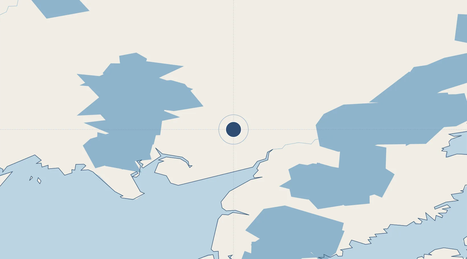
59.4518°, -157.3738°
3,281 ft
Longest runway
1
Runways
364 ft
Elevation
Runway & Layout

Runways · 1
| Runway | Dimensions | Surface | True heading | Lit |
|---|---|---|---|---|
| 14/32 | 3,281 × 75ft | GRVL-G | 153° | — |
Airport Specifications
IATA code
KNW
ICAO code
PANW
Airport class
Small airport
Scheduled service
Yes
Runway surface
GRVL-G
Served city
New Stuyahok
Location
Nearby Logistics Neighbours
Airports
- 1Koliganek Airport31 km
- 2Aleknagik / New Airport73 km
- 3Dillingham Airport79 km
- 4Igiugig Airport85 km
- 5South Naknek Number 2 Airport86 km
Cities
- 1Afognak311 km
- 2Jakolof Bay331 km
- 3Kaguyak356 km
- 4Susitna442 km
- 5Port MacKenzie457 km
Ports
- 1Dillingham78 km
- 2Naknek84 km
- 3Clarks Point95 km
- 4Ekuk98 km
- 5Egegik139 km
Trade Zones
- 1FTZ No. 232 Kodiak308 km
- 2FTZ No. 160 Anchorage457 km
- 3FTZ No. 108 Valdez634 km
- 4FTZ No. 195 Fairbanks780 km
- 5PrInce George Logistics Park2174 km
DatabookThe Record of Consolidated Knowledge
United States beyond logistics?