Small airport · United States
Igiugig AirportPAIG
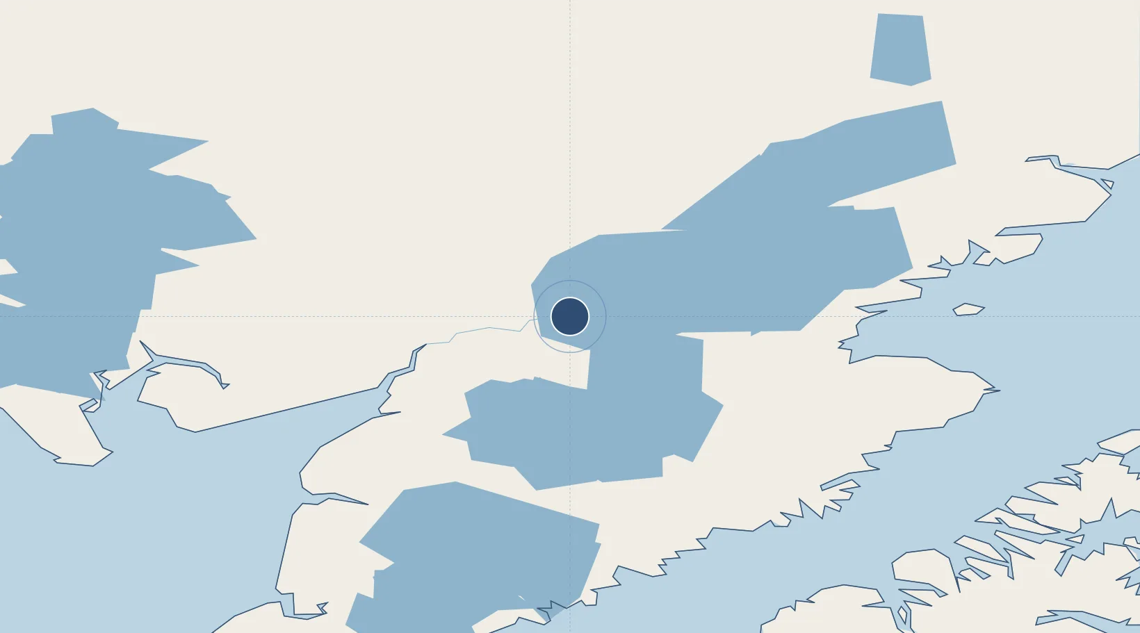
59.3240°, -155.9020°
3,000 ft
Longest runway
1
Runways
90 ft
Elevation
Runway & Layout

Runways · 1
| Runway | Dimensions | Surface | True heading | Lit |
|---|---|---|---|---|
| 05/23 | 3,000 × 75ft | GRVL-F | 072° | — |
Airport Specifications
IATA code
IGG
ICAO code
PAIG
Airport class
Small airport
Scheduled service
Yes
Runway surface
GRVL-F
Served city
Igiugig
Location
Nearby Logistics Neighbours
Airports
- 1Kokhanok Airport64 km
- 2Iliamna Airport74 km
- 3King Salmon Airport84 km
- 4New Stuyahok Airport85 km
- 5Lake Brooks Seaplane Base86 km
Cities
- 1Afognak234 km
- 2Jakolof Bay249 km
- 3Kaguyak300 km
- 4Susitna385 km
- 5Anchorage394 km
Ports
- 1Naknek93 km
- 2Dillingham151 km
- 3Egegik151 km
- 4Clarks Point160 km
- 5Ekuk162 km
Trade Zones
- 1FTZ No. 232 Kodiak244 km
- 2FTZ No. 160 Anchorage394 km
- 3FTZ No. 108 Valdez563 km
- 4FTZ No. 195 Fairbanks746 km
- 5PrInce George Logistics Park2091 km
DatabookThe Record of Consolidated Knowledge
United States beyond logistics?