Small airport · United States
Koliganek AirportPAJZ
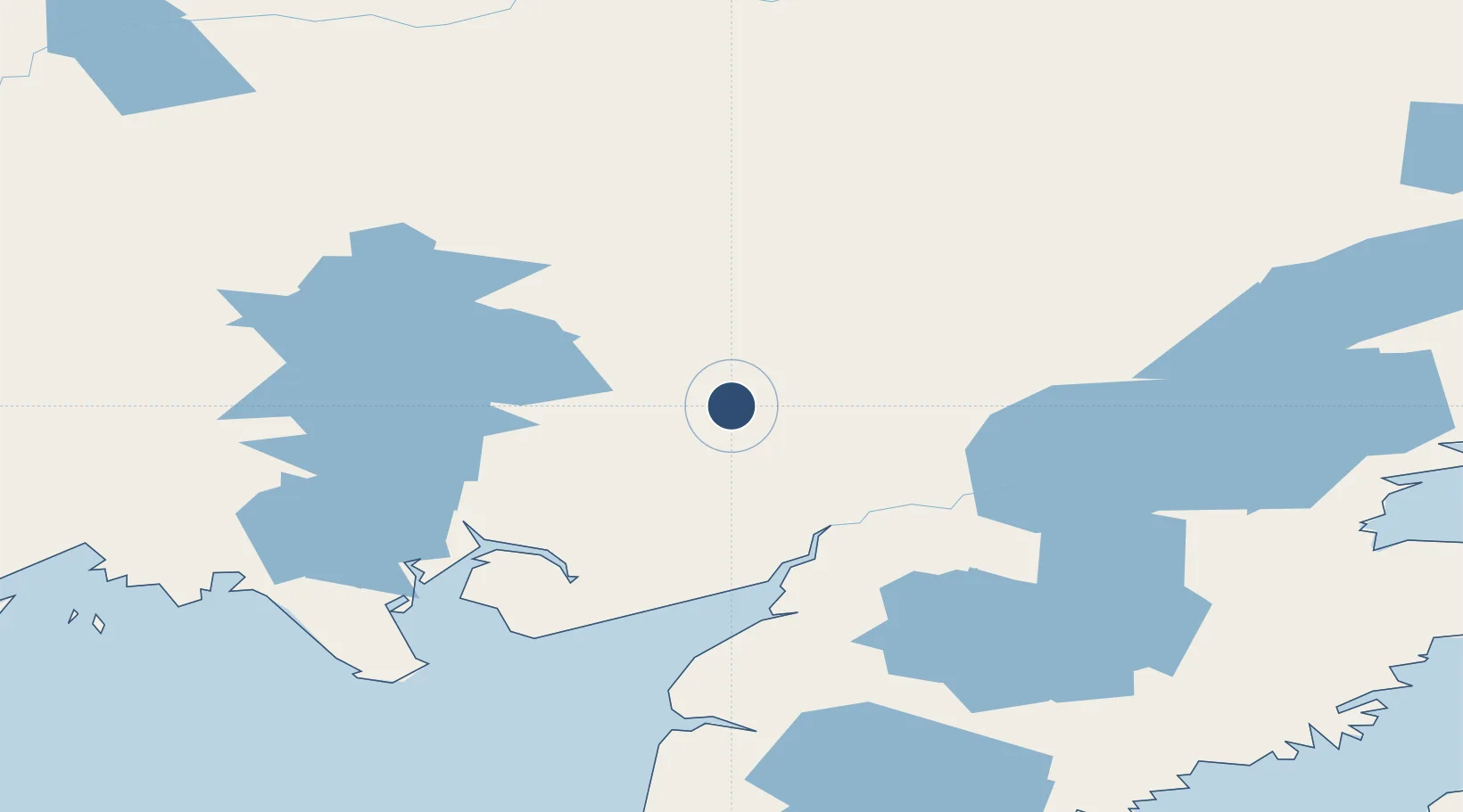
59.7266°, -157.2590°
3,300 ft
Longest runway
1
Runways
269 ft
Elevation
Runway & Layout

Runways · 1
| Runway | Dimensions | Surface | True heading | Lit |
|---|---|---|---|---|
| 09/27 | 3,300 × 75ft | GRVL-F | 106° | — |
Airport Specifications
IATA code
KGK
ICAO code
PAJZ
Airport class
Small airport
Scheduled service
Yes
Runway surface
GRVL-F
Served city
Koliganek
Location
Nearby Logistics Neighbours
Airports
- 1New Stuyahok Airport31 km
- 2Igiugig Airport89 km
- 3Aleknagik / New Airport91 km
- 4Dillingham Airport104 km
- 5South Naknek Number 2 Airport115 km
Cities
- 1Afognak322 km
- 2Jakolof Bay325 km
- 3Kaguyak377 km
- 4Susitna420 km
- 5Port MacKenzie437 km
Ports
- 1Dillingham104 km
- 2Naknek113 km
- 3Clarks Point122 km
- 4Ekuk126 km
- 5Egegik170 km
Trade Zones
- 1FTZ No. 232 Kodiak326 km
- 2FTZ No. 160 Anchorage437 km
- 3FTZ No. 108 Valdez617 km
- 4FTZ No. 195 Fairbanks752 km
- 5PrInce George Logistics Park2169 km
DatabookThe Record of Consolidated Knowledge
United States beyond logistics?