Medium airport · United States
Dillingham AirportPADL
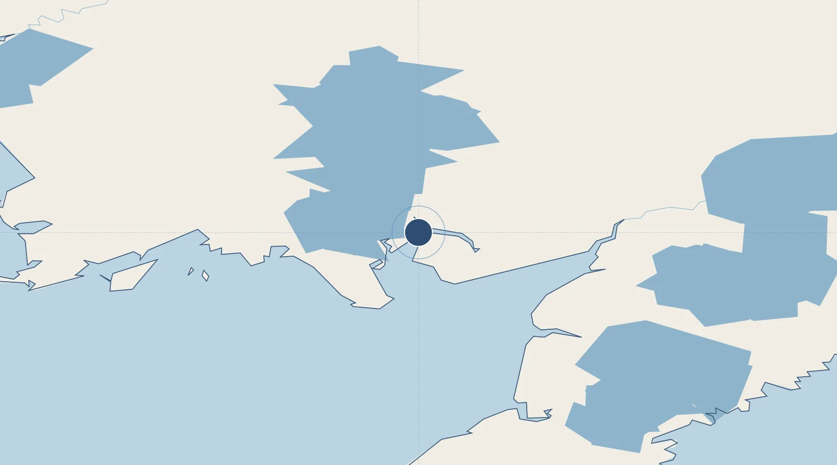
59.0447°, -158.5050°
6,400 ft
Longest runway
1
Runways
81 ft
Elevation
Runway & Layout

Radio Frequencies
ATIS
125 MHz
AWOS
135.55 MHz
AWOS 3
CTAF
123.6 MHz
CNTR
132.75 MHz
ANCHORAGE CNTR
FSS
122.3 MHz
RDO
Navaids
BTS NDB Wood River 429 kHz
DLG VOR-DME Dillingham 116.40 MHz
Runways · 1
| Runway | Dimensions | Surface | True heading | Lit |
|---|---|---|---|---|
| 01/19 | 6,400 × 150ft | Asphalt | 026° | ✓ |
Airport Specifications
IATA code
DLG
ICAO code
PADL
Airport class
Medium airport
Scheduled service
Yes
Runway surface
Asphalt
Served city
Dillingham
Location
Nearby Logistics Neighbours
Airports
- 1Clarks Point Airport24 km
- 2Manokotak Airport26 km
- 3Aleknagik / New Airport27 km
- 4New Stuyahok Airport79 km
- 5South Naknek Number 2 Airport94 km
Cities
- 1Afognak353 km
- 2Kaguyak369 km
- 3Jakolof Bay400 km
- 4Lenard Harbour496 km
- 5Susitna520 km
Ports
- 1Dillingham2 km
- 2Clarks Point22 km
- 3Ekuk26 km
- 4Naknek93 km
- 5Egegik115 km
Trade Zones
- 1FTZ No. 232 Kodiak332 km
- 2FTZ No. 160 Anchorage535 km
- 3FTZ No. 108 Valdez711 km
- 4FTZ No. 195 Fairbanks855 km
- 5PrInce George Logistics Park2239 km
DatabookThe Record of Consolidated Knowledge
United States beyond logistics?