Small airport · Canada
Old Crow AirportCYOC
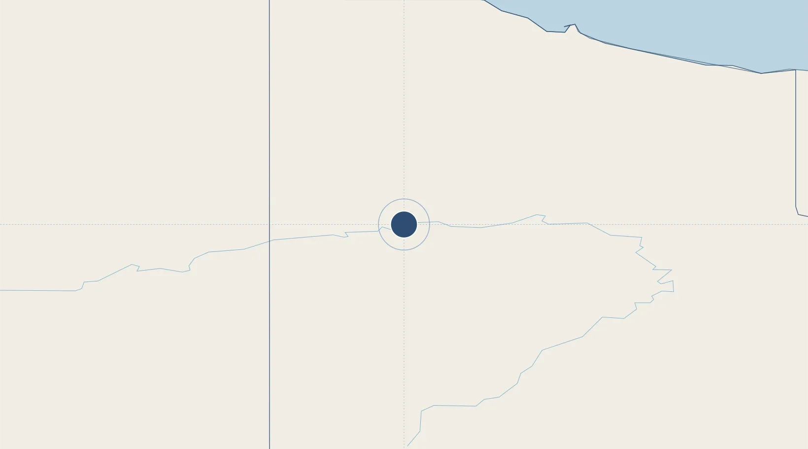
67.5706°, -139.8390°
4,900 ft
Longest runway
1
Runways
824 ft
Elevation
Runway & Layout

Radio Frequencies
ATF
122.1 MHz
MANDATORY FREQ
RDO
122.1 MHz
ARPT RDO
Navaids
YOC NDB Old Crow 284 kHz
Runways · 1
| Runway | Dimensions | Surface | True heading | Lit |
|---|---|---|---|---|
| 04/22 | 4,900 × 100ft | Gravel | 061° | ✓ |
Airport Specifications
IATA code
YOC
ICAO code
CYOC
Airport class
Small airport
Scheduled service
Yes
Runway surface
Gravel
Served city
Old Crow
Location
Nearby Logistics Neighbours
Airports
- 1Chalkyitsik Airport198 km
- 2Fort Mcpherson Airport213 km
- 3Aklavik/Freddie Carmichael Airport215 km
- 4Arctic Village Airport248 km
- 5Fort Yukon Airport259 km
Cities
- 1Herschel Island224 km
- 2Valdez781 km
- 3Houston812 km
- 4Orca828 km
- 5Cordova830 km
Ports
- 1Prudhoe Bay459 km
- 2Valdez780 km
- 3Orca827 km
- 4Cordova831 km
- 5Anchorage854 km
Trade Zones
- 1FTZ No. 195 Fairbanks465 km
- 2FTZ No. 108 Valdez781 km
- 3FTZ No. 160 Anchorage851 km
- 4FTZ No. 232 Kodiak1322 km
- 5PrInce George Logistics Park1766 km
DatabookThe Record of Consolidated Knowledge
Canada beyond logistics?