Medium airport · Pakistan

Shaheed Benazirabad AirportOPNH
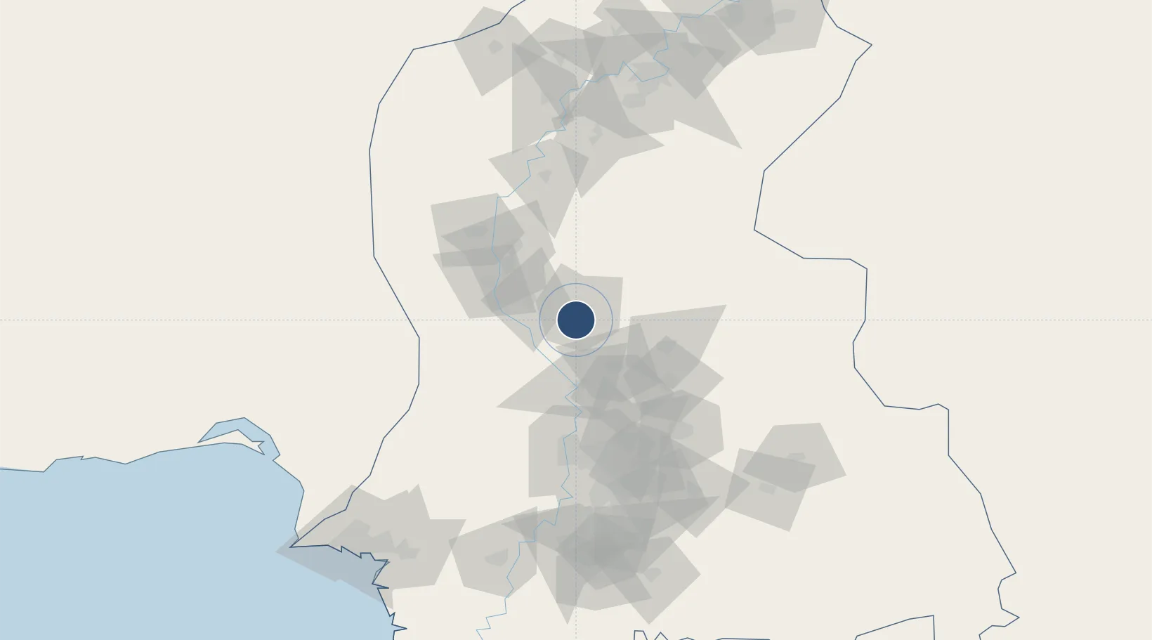
26.2194°, 68.3901°
8,999 ft
Longest runway
1
Runways
95 ft
Elevation

Runway & Layout

Shaheed Benazirabad Airport runway & taxiway layout
Runway & taxiway layout — OpenStreetMap (ODbL) / OurAirports

Radio Frequencies

TWR
118.1 MHz
GND
121.8 MHz
TWR
OurAirports

Navaids

NH VOR-DME Nawabshah 112.90 MHz
NH NDB Nawabshah 393 kHz
OurAirports

Runways · 1

RunwayDimensions SurfaceTrue headingLit
02/20 8,999 × 150ft Concrete 021°
OurAirports

Airport Specifications

IATA code
WNS
OurAirports
ICAO code
OPNH
OurAirports
Airport class
Medium airport
OurAirports
Scheduled service
Yes
OurAirports
Runway surface
Concrete
OurAirports
Served city
Nawabashah
OurAirports

Location

Location of OPNH
Natural Earth 10m (public domain) · Sind · OPNH · 26.22, 68.39GoogleOSMYandex

Nearby Logistics Neighbours

Airports
  1. 1Sehwan Sharif Airport73 km
  2. 2Hyderabad Airport100 km
  3. 3Moenjodaro Airport127 km
  4. 4Begum Nusrat Bhutto International Airport Sukkur172 km
  5. 5Jinnah International Airport191 km
Nearest neighbours — logibook spatial index (haversine) over the source coordinates
Cities
  1. 1Khokhropar188 km
  2. 2Muhammad Bin Qasim/Karachi192 km
  3. 3Karachi Freight Terminal203 km
  4. 4Karachi206 km
  5. 5Karachi Container Terminal210 km
Nearest neighbours — logibook spatial index (haversine) over the source coordinates
Ports
  1. 1Muhamamad Bin Qasim192 km
  2. 2Karachi213 km
  3. 3Mandvi389 km
  4. 4Kandla400 km
  5. 5Mundra410 km
Nearest neighbours — logibook spatial index (haversine) over the source coordinates
Trade Zones
  1. 1Naushehro Feroze Industrial Park75 km
  2. 2Khairpur Special Economic Zone144 km
  3. 3Duddar Export Processing Zone159 km
  4. 4China Special Economic Zone Dhabeji181 km
  5. 5Bin Qasim Special Economic Zone182 km
Nearest neighbours — logibook spatial index (haversine) over the source coordinates
DatabookThe Record of Consolidated Knowledge
Pakistan beyond logistics?
Browse databook

All Sources

AirportsOurAirports
Public domain
Portsthe NGA World Port Index
Public domain (US gov)
LocationsUN/LOCODE
UN/LOCODE — free
Trade Zonesthe World Bank SEZ database
CC BY 4.0
Trade ZonesOpen Zone Map
CC BY
InfrastructureOpenStreetMap
ODbL 1.0
← Pakistan airports