Diversified Zone · Pakistan

China Special Economic Zone Dhabeji Under Development
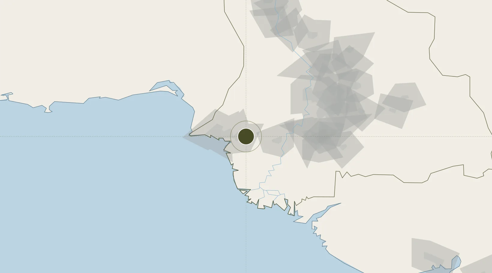
24.8256°, 67.4682°
619 ha
Zone area
13.6 km
Nearest port
32.3 km
Nearest airport

Gateway access

Nearest neighbours — logibook spatial index (haversine) over the source coordinates

Zone profile

Zone type
Diversified Zone
Open Zone Map
Region
Sind
Open Zone Map
Status
Under Development
Open Zone Map
Management
Public-Private Partnership
Open Zone Map
Operator
Sindh Economic Zones Management Company (SEZMC)
Open Zone Map
Legal framework
Special Economic Zones Act, 2012
Open Zone Map

Location

Location of ozm-3026
Natural Earth 10m (public domain) · Sind · ozm-3026 · 24.83, 67.47GoogleOSMYandex

Nearby Logistics Neighbours

Ports
  1. 1Muhamamad Bin Qasim14 km
  2. 2Karachi49 km
  3. 3Mandvi293 km
  4. 4Okha309 km
  5. 5Mundra326 km
Nearest neighbours — logibook spatial index (haversine) over the source coordinates
Airports
  1. 1Jinnah International Airport32 km
  2. 2Faisal Air Base36 km
  3. 3Masroor Air Base54 km
  4. 4Hyderabad Airport106 km
  5. 5Shaheed Benazirabad Airport181 km
Nearest neighbours — logibook spatial index (haversine) over the source coordinates
Cities
  1. 1Muhammad Bin Qasim/Karachi15 km
  2. 2Karachi Freight Terminal44 km
  3. 3Karachi45 km
  4. 4Karachi Container Terminal51 km
  5. 5Kiamari51 km
Nearest neighbours — logibook spatial index (haversine) over the source coordinates
Trade Zones
  1. 1Bin Qasim Special Economic Zone11 km
  2. 2Industrial Park Pakistan Steel Mills Port Qasim12 km
  3. 3Al-Tuwairqi Steel Mill Export Processing Zone13 km
  4. 4Quaid-E-Azim Apparel Park15 km
  5. 5Karachi Export Processing Zone23 km
Nearest neighbours — logibook spatial index (haversine) over the source coordinates
DatabookThe Record of Consolidated Knowledge
Pakistan beyond logistics?
Browse databook

All Sources

Trade ZonesOpen Zone Map
CC BY
Portsthe NGA World Port Index
Public domain (US gov)
AirportsOurAirports
Public domain
LocationsUN/LOCODE
UN/LOCODE — free
← Pakistan trade zones