Diversified Zone · Pakistan

Bin Qasim Special Economic Zone Active
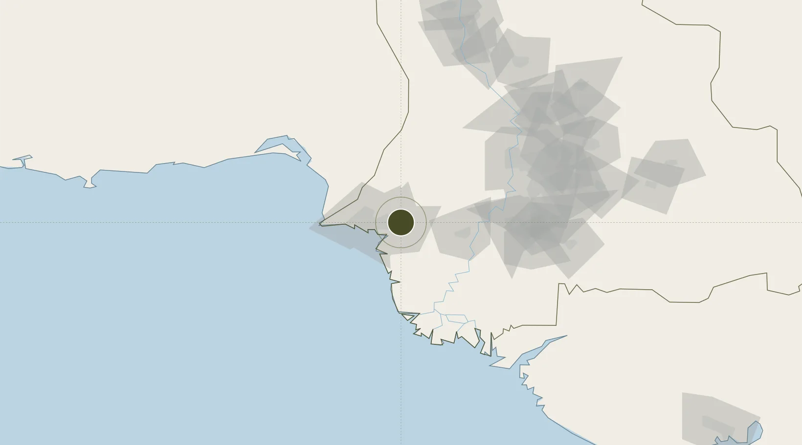
24.8648°, 67.3698°
10,117 ha
Zone area
11.1 km
Nearest port
21.6 km
Nearest airport

Gateway access

Nearest neighbours — logibook spatial index (haversine) over the source coordinates

Zone profile

Zone type
Diversified Zone
Open Zone Map
Region
Sind
Open Zone Map
Status
Active
Open Zone Map
Management
Public
Open Zone Map
Operator
National Industrial Parks Development & Management Company (NIP)
Open Zone Map
Legal framework
Special Economic Zones Act, 2012
Open Zone Map

Location

Location of ozm-3024
Natural Earth 10m (public domain) · Sind · ozm-3024 · 24.86, 67.37GoogleOSMYandex

Nearby Logistics Neighbours

Ports
  1. 1Muhamamad Bin Qasim11 km
  2. 2Karachi40 km
  3. 3Mandvi303 km
  4. 4Okha318 km
  5. 5Mundra336 km
Nearest neighbours — logibook spatial index (haversine) over the source coordinates
Airports
  1. 1Jinnah International Airport22 km
  2. 2Faisal Air Base25 km
  3. 3Masroor Air Base44 km
  4. 4Hyderabad Airport112 km
  5. 5Shaheed Benazirabad Airport182 km
Nearest neighbours — logibook spatial index (haversine) over the source coordinates
Cities
  1. 1Muhammad Bin Qasim/Karachi10 km
  2. 2Karachi Freight Terminal34 km
  3. 3Karachi36 km
  4. 4Karachi Container Terminal41 km
  5. 5Kiamari41 km
Nearest neighbours — logibook spatial index (haversine) over the source coordinates
Trade Zones
  1. 1Quaid-E-Azim Apparel Park4 km
  2. 2Al-Tuwairqi Steel Mill Export Processing Zone5 km
  3. 3Industrial Park Pakistan Steel Mills Port Qasim5 km
  4. 4China Special Economic Zone Dhabeji11 km
  5. 5Karachi Export Processing Zone14 km
Nearest neighbours — logibook spatial index (haversine) over the source coordinates
DatabookThe Record of Consolidated Knowledge
Pakistan beyond logistics?
Browse databook

All Sources

Trade ZonesOpen Zone Map
CC BY
Portsthe NGA World Port Index
Public domain (US gov)
AirportsOurAirports
Public domain
LocationsUN/LOCODE
UN/LOCODE — free
← Pakistan trade zones