UN/LOCODE hub · Pakistan
PKBQM
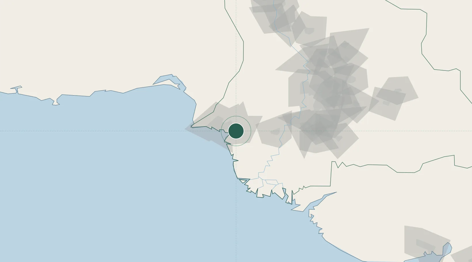
Muhammad Bin Qasim/Karachi
24.7835°, 67.3265°
1
Transport functions
1
Container terminals
Transport Functions
Port
Hub Profile
Region
SD
Logistics facilities
14
Container terminals
1
Location
Nearby Logistics Neighbours
Cities
- 1Karachi Freight Terminal31 km
- 2Karachi32 km
- 3Kiamari37 km
- 4Karachi Container Terminal37 km
- 5Keti Bandar73 km
Ports
- 1Karachi35 km
- 2Mandvi299 km
- 3Okha313 km
- 4Mundra333 km
- 5Vadinar Terminal351 km
Airports
- 1Jinnah International Airport22 km
- 2Faisal Air Base23 km
- 3Masroor Air Base41 km
- 4Hyderabad Airport120 km
- 5Sehwan Sharif Airport192 km
DatabookThe Record of Consolidated Knowledge
Pakistan beyond logistics?