Medium airport · Pakistan

Moenjodaro AirportOPMJ
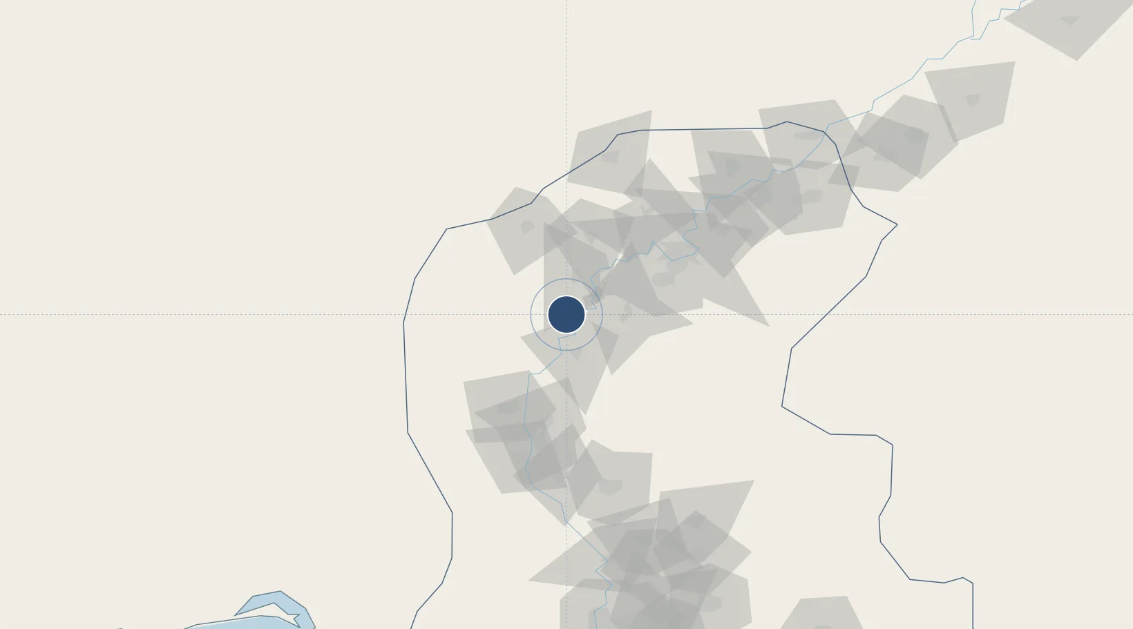
27.3352°, 68.1431°
6,512 ft
Longest runway
1
Runways
154 ft
Elevation

Runway & Layout

Moenjodaro Airport runway & taxiway layout
Runway & taxiway layout — OpenStreetMap (ODbL) / OurAirports

Radio Frequencies

TWR
119.6 MHz
GND
121.8 MHz
TWR
OurAirports

Navaids

MJ NDB Moenjodaro 304 kHz
OurAirports

Runways · 1

RunwayDimensions SurfaceTrue headingLit
08/26 6,512 × 98ft Asphalt 077°
OurAirports

Airport Specifications

IATA code
MJD
OurAirports
ICAO code
OPMJ
OurAirports
Airport class
Medium airport
OurAirports
Scheduled service
No
OurAirports
Runway surface
Asphalt
OurAirports
Served city
Moenjodaro
OurAirports

Location

Location of OPMJ
Natural Earth 10m (public domain) · Sind · OPMJ · 27.34, 68.14GoogleOSMYandex

Nearby Logistics Neighbours

Airports
  1. 1Begum Nusrat Bhutto International Airport Sukkur77 km
  2. 2Sehwan Sharif Airport105 km
  3. 3Shahbaz Air Base110 km
  4. 4Shaheed Benazirabad Airport127 km
  5. 5Khuzdar Airport156 km
Nearest neighbours — logibook spatial index (haversine) over the source coordinates
Cities
  1. 1Khokhropar273 km
  2. 2Muhammad Bin Qasim/Karachi295 km
  3. 3Karachi Freight Terminal296 km
  4. 4Karachi299 km
  5. 5Karachi Container Terminal302 km
Nearest neighbours — logibook spatial index (haversine) over the source coordinates
Ports
  1. 1Muhamamad Bin Qasim296 km
  2. 2Karachi307 km
  3. 3Mandvi515 km
  4. 4Kandla522 km
  5. 5Mundra536 km
Nearest neighbours — logibook spatial index (haversine) over the source coordinates
Trade Zones
  1. 1Naushehro Feroze Industrial Park55 km
  2. 2Khairpur Special Economic Zone56 km
  3. 3Duddar Export Processing Zone192 km
  4. 4Rahim Yar Khan Industrial Estate232 km
  5. 5Bin Qasim Special Economic Zone285 km
Nearest neighbours — logibook spatial index (haversine) over the source coordinates
DatabookThe Record of Consolidated Knowledge
Pakistan beyond logistics?
Browse databook

All Sources

AirportsOurAirports
Public domain
Portsthe NGA World Port Index
Public domain (US gov)
LocationsUN/LOCODE
UN/LOCODE — free
Trade Zonesthe World Bank SEZ database
CC BY 4.0
Trade ZonesOpen Zone Map
CC BY
InfrastructureOpenStreetMap
ODbL 1.0
← Pakistan airports