Transport Functions
Rail
Road
Hub Profile
Place type
Populated place
Region
Sindh
Time zone
Asia/Karachi
Elevation
61 m
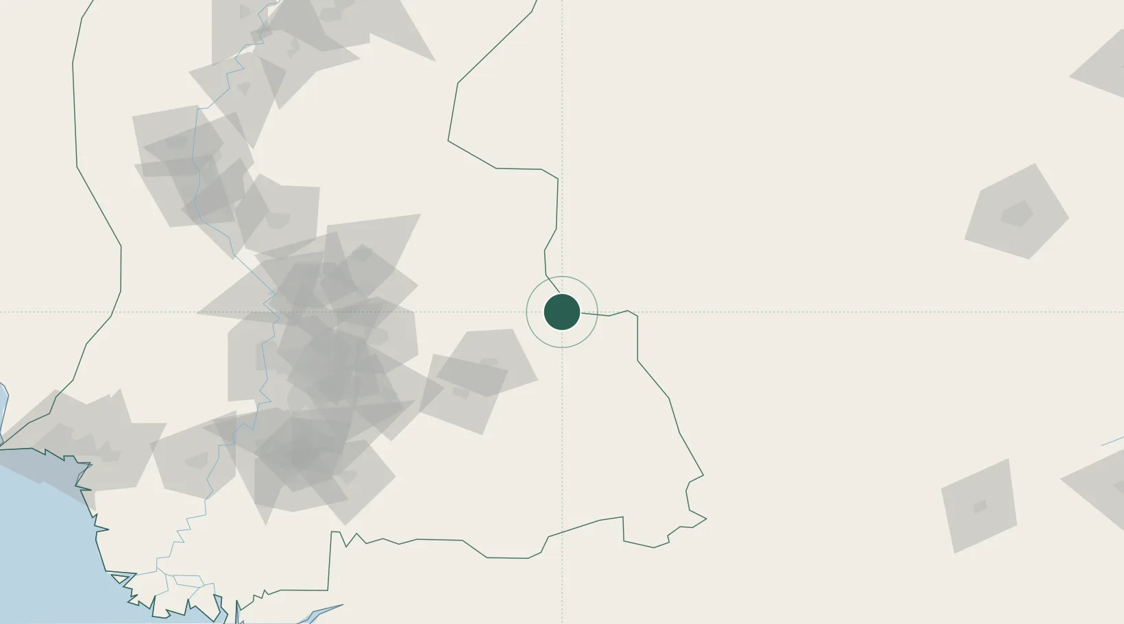
Location
Nearby Logistics Neighbours
Cities
- 1Euro Multivision Bhachau-SEZ/Kutch236 km
- 2Welspun Anjar-SEZ/Anjar286 km
- 3Jodhpur287 km
- 4Basni289 km
- 5OPGS SEZ/Gandhidham291 km
Ports
- 1Kandla297 km
- 2Muhamamad Bin Qasim303 km
- 3Navlakhi306 km
- 4Mandvi330 km
- 5Mundra334 km
Airports
Trade Zones
DatabookThe Record of Consolidated Knowledge
Pakistan beyond logistics?