Medium airport · Pakistan

Begum Nusrat Bhutto International Airport SukkurOPSK
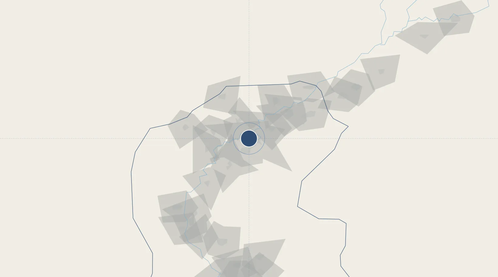
27.7220°, 68.7917°
9,000 ft
Longest runway
1
Runways
196 ft
Elevation

Runway & Layout

Begum Nusrat Bhutto International Airport Sukkur runway & taxiway layout
Runway & taxiway layout — OpenStreetMap (ODbL) / OurAirports

Radio Frequencies

TWR
122.5 MHz
GND
121.8 MHz
TWR
OurAirports

Navaids

SK NDB Sukkur 375 kHz
OurAirports

Runways · 1

RunwayDimensions SurfaceTrue headingLit
14/32 9,000 × 98ft Asphalt 140°
OurAirports

Airport Specifications

IATA code
SKZ
OurAirports
ICAO code
OPSK
OurAirports
Airport class
Medium airport
OurAirports
Scheduled service
Yes
OurAirports
Runway surface
Asphalt
OurAirports
Served city
Sukkur
OurAirports

Location

Location of OPSK
Natural Earth 10m (public domain) · Sind · OPSK · 27.72, 68.79GoogleOSMYandex

Nearby Logistics Neighbours

Airports
  1. 1Shahbaz Air Base71 km
  2. 2Moenjodaro Airport77 km
  3. 3Sui Airport109 km
  4. 4Shaikh Zaid Airport164 km
  5. 5Shaheed Benazirabad Airport172 km
Nearest neighbours — logibook spatial index (haversine) over the source coordinates
Cities
  1. 1Khokhropar264 km
  2. 2Hasilpur357 km
  3. 3Muhammad Bin Qasim/Karachi358 km
  4. 4Karachi Freight Terminal363 km
  5. 5Karachi365 km
Nearest neighbours — logibook spatial index (haversine) over the source coordinates
Ports
  1. 1Muhamamad Bin Qasim359 km
  2. 2Karachi373 km
  3. 3Kandla541 km
  4. 4Mandvi547 km
  5. 5Navlakhi555 km
Nearest neighbours — logibook spatial index (haversine) over the source coordinates
Trade Zones
  1. 1Khairpur Special Economic Zone28 km
  2. 2Naushehro Feroze Industrial Park118 km
  3. 3Rahim Yar Khan Industrial Estate155 km
  4. 4Duddar Export Processing Zone268 km
  5. 5Bin Qasim Special Economic Zone348 km
Nearest neighbours — logibook spatial index (haversine) over the source coordinates
DatabookThe Record of Consolidated Knowledge
Pakistan beyond logistics?
Browse databook

All Sources

AirportsOurAirports
Public domain
Portsthe NGA World Port Index
Public domain (US gov)
LocationsUN/LOCODE
UN/LOCODE — free
Trade Zonesthe World Bank SEZ database
CC BY 4.0
Trade ZonesOpen Zone Map
CC BY
InfrastructureOpenStreetMap
ODbL 1.0
← Pakistan airports