Small airport · Pakistan

Hyderabad AirportOPKD
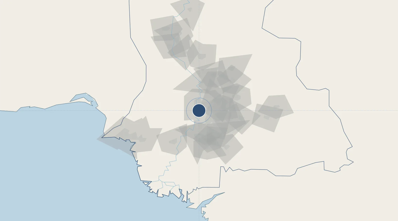
25.3181°, 68.3661°
6,998 ft
Longest runway
1
Runways
130 ft
Elevation

Runway & Layout

Hyderabad Airport runway & taxiway layout
Runway & taxiway layout — OpenStreetMap (ODbL) / OurAirports

Navaids

KD NDB Hyderabad 223 kHz
OurAirports

Runways · 1

RunwayDimensions SurfaceTrue headingLit
02/20 6,998 × 98ft Asphalt
OurAirports

Airport Specifications

IATA code
HDD
OurAirports
ICAO code
OPKD
OurAirports
Airport class
Small airport
OurAirports
Scheduled service
Yes
OurAirports
Runway surface
Asphalt
OurAirports
Served city
Hyderabad
OurAirports

Location

Location of OPKD
Natural Earth 10m (public domain) · Sind · OPKD · 25.32, 68.37GoogleOSMYandex

Nearby Logistics Neighbours

Airports
  1. 1Shaheed Benazirabad Airport100 km
  2. 2Jinnah International Airport130 km
  3. 3Faisal Air Base135 km
  4. 4Sehwan Sharif Airport144 km
  5. 5Masroor Air Base151 km
Nearest neighbours — logibook spatial index (haversine) over the source coordinates
Cities
  1. 1Muhammad Bin Qasim/Karachi120 km
  2. 2Karachi Freight Terminal143 km
  3. 3Karachi145 km
  4. 4Karachi Container Terminal151 km
  5. 5Kiamari152 km
Nearest neighbours — logibook spatial index (haversine) over the source coordinates
Ports
  1. 1Muhamamad Bin Qasim119 km
  2. 2Karachi152 km
  3. 3Mandvi294 km
  4. 4Kandla316 km
  5. 5Mundra319 km
Nearest neighbours — logibook spatial index (haversine) over the source coordinates
Trade Zones
  1. 1China Special Economic Zone Dhabeji106 km
  2. 2Bin Qasim Special Economic Zone112 km
  3. 3Quaid-E-Azim Apparel Park116 km
  4. 4Industrial Park Pakistan Steel Mills Port Qasim117 km
  5. 5Al-Tuwairqi Steel Mill Export Processing Zone117 km
Nearest neighbours — logibook spatial index (haversine) over the source coordinates
DatabookThe Record of Consolidated Knowledge
Pakistan beyond logistics?
Browse databook

All Sources

AirportsOurAirports
Public domain
Portsthe NGA World Port Index
Public domain (US gov)
LocationsUN/LOCODE
UN/LOCODE — free
Trade Zonesthe World Bank SEZ database
CC BY 4.0
Trade ZonesOpen Zone Map
CC BY
InfrastructureOpenStreetMap
ODbL 1.0
← Pakistan airports