Medium airport · Pakistan

Shahbaz Air BaseOPJA
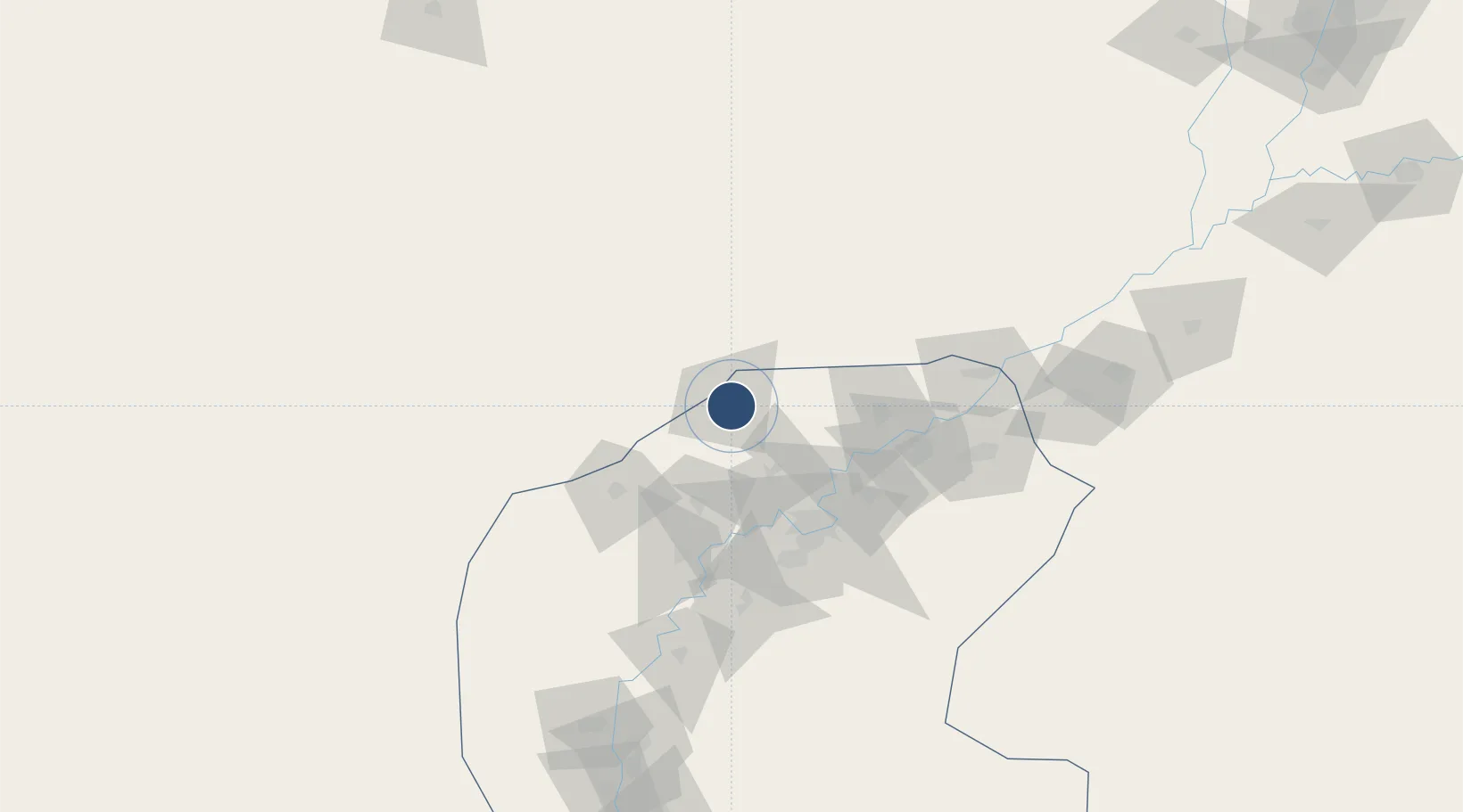
28.2842°, 68.4497°
10,081 ft
Longest runway
2
Runways
185 ft
Elevation

Runway & Layout

Shahbaz Air Base runway & taxiway layout
Runway & taxiway layout — OpenStreetMap (ODbL) / OurAirports

Radio Frequencies

TWR
124.625 MHz
JACOBABAD TWR
GND
29.04 MHz
POST
27.312 MHz
COMD POST
OurAirports

Runways · 2

RunwayDimensions SurfaceTrue headingLit
15L/33R 10,081 × 80ft Asphalt 147°
15/33 10,040 × 148ft Asphalt 147°
OurAirports

Airport Specifications

IATA code
JAG
OurAirports
ICAO code
OPJA
OurAirports
Airport class
Medium airport
OurAirports
Scheduled service
No
OurAirports
Runway surface
Asphalt
OurAirports
Served city
Jacobabad
OurAirports

Location

Location of OPJA
Natural Earth 10m (public domain) · Sind · OPJA · 28.28, 68.45GoogleOSMYandex

Nearby Logistics Neighbours

Airports
  1. 1Begum Nusrat Bhutto International Airport Sukkur71 km
  2. 2Sui Airport82 km
  3. 3Moenjodaro Airport110 km
  4. 4Shaikh Zaid Airport179 km
  5. 5Khuzdar Airport185 km
Nearest neighbours — logibook spatial index (haversine) over the source coordinates
Cities
  1. 1Khokhropar335 km
  2. 2Hasilpur350 km
  3. 3Chaman352 km
  4. 4Multan359 km
  5. 5Muhammad Bin Qasim/Karachi405 km
Nearest neighbours — logibook spatial index (haversine) over the source coordinates
Ports
  1. 1Muhamamad Bin Qasim406 km
  2. 2Karachi416 km
  3. 3Kandla610 km
  4. 4Mandvi613 km
  5. 5Navlakhi625 km
Nearest neighbours — logibook spatial index (haversine) over the source coordinates
Trade Zones
  1. 1Khairpur Special Economic Zone91 km
  2. 2Naushehro Feroze Industrial Park163 km
  3. 3Rahim Yar Khan Industrial Estate170 km
  4. 4Bostan Special Economic Zone Balochistan277 km
  5. 5Duddar Export Processing Zone293 km
Nearest neighbours — logibook spatial index (haversine) over the source coordinates
DatabookThe Record of Consolidated Knowledge
Pakistan beyond logistics?
Browse databook

All Sources

AirportsOurAirports
Public domain
Portsthe NGA World Port Index
Public domain (US gov)
LocationsUN/LOCODE
UN/LOCODE — free
Trade Zonesthe World Bank SEZ database
CC BY 4.0
Trade ZonesOpen Zone Map
CC BY
InfrastructureOpenStreetMap
ODbL 1.0
← Pakistan airports