Diversified Zone · Pakistan

Rahim Yar Khan Industrial Estate Active
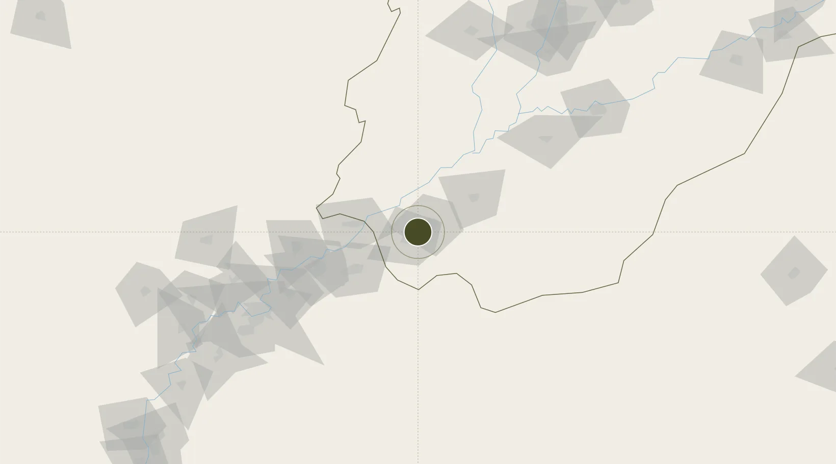
28.3752°, 70.1839°
185 ha
Zone area
490.3 km
Nearest port
9.4 km
Nearest airport

Gateway access

Nearest neighbours — logibook spatial index (haversine) over the source coordinates

Zone profile

Zone type
Diversified Zone
Open Zone Map
Region
Punjab
Open Zone Map
Status
Active
Open Zone Map
Management
Public
Open Zone Map
Operator
Punjab Industrial Estates Development & Management Company (PIEDMC)
Open Zone Map
Legal framework
Special Economic Zones Act, 2012
Open Zone Map

Location

Location of ozm-3036
Natural Earth 10m (public domain) · Punjab · ozm-3036 · 28.38, 70.18GoogleOSMYandex

Nearby Logistics Neighbours

Ports
  1. 1Muhamamad Bin Qasim490 km
  2. 2Karachi511 km
  3. 3Kandla594 km
  4. 4Navlakhi603 km
  5. 5Mandvi622 km
Nearest neighbours — logibook spatial index (haversine) over the source coordinates
Airports
  1. 1Shaikh Zaid Airport9 km
  2. 2Sui Airport103 km
  3. 3Begum Nusrat Bhutto International Airport Sukkur155 km
  4. 4Shahbaz Air Base170 km
  5. 5Jaisalmer Airport178 km
Nearest neighbours — logibook spatial index (haversine) over the source coordinates
Cities
  1. 1Hasilpur208 km
  2. 2Multan233 km
  3. 3Khokhropar298 km
  4. 4Bikaner308 km
  5. 5Jodhpur366 km
Nearest neighbours — logibook spatial index (haversine) over the source coordinates
Trade Zones
  1. 1Khairpur Special Economic Zone177 km
  2. 2Naushehro Feroze Industrial Park265 km
  3. 3Vehari Industrial Estate279 km
  4. 4Bostan Special Economic Zone Balochistan384 km
  5. 5Duddar Export Processing Zone419 km
Nearest neighbours — logibook spatial index (haversine) over the source coordinates
DatabookThe Record of Consolidated Knowledge
Pakistan beyond logistics?
Browse databook

All Sources

Trade ZonesOpen Zone Map
CC BY
Portsthe NGA World Port Index
Public domain (US gov)
AirportsOurAirports
Public domain
LocationsUN/LOCODE
UN/LOCODE — free
← Pakistan trade zones