Large airport · United Arab Emirates

Ras Al Khaimah International AirportOMRK
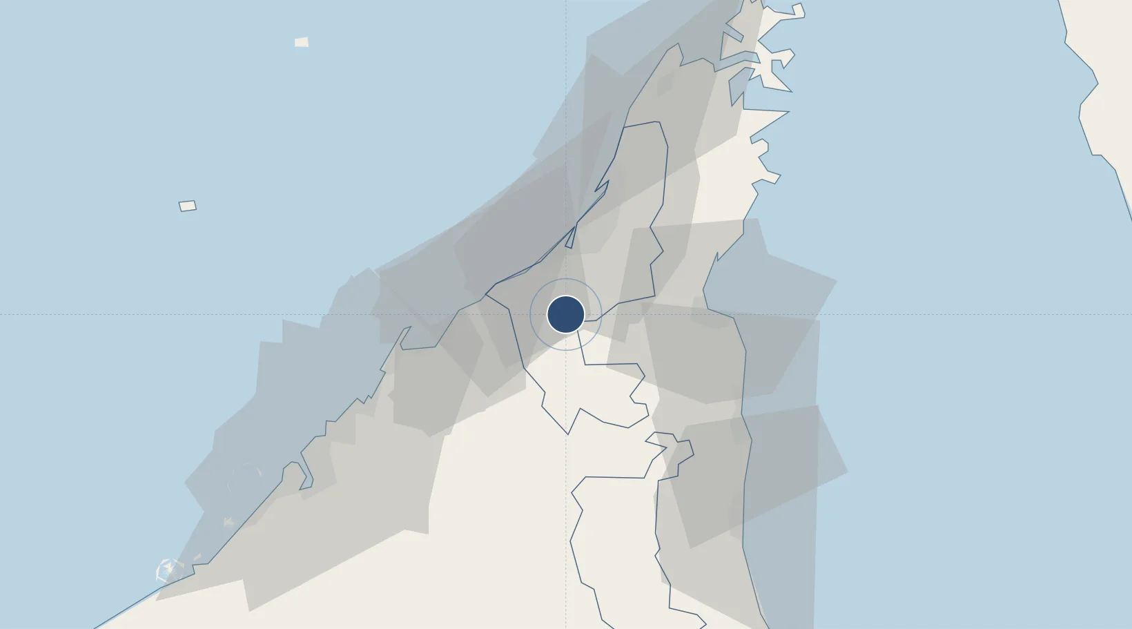
25.6135°, 55.9388°
12,336 ft
Longest runway
1
Runways
102 ft
Elevation

Runway & Layout

Ras Al Khaimah International Airport runway & taxiway layout
Runway & taxiway layout — OpenStreetMap (ODbL) / OurAirports

Radio Frequencies

TWR
118.25 MHz
GND
121.6 MHz
OurAirports

Navaids

RAV VOR-DME Ras Al Khaimah 113.60 MHz
OurAirports

Runways · 1

RunwayDimensions SurfaceTrue headingLit
16/34 12,336 × 148ft Asphalt 165°
OurAirports

Airport Specifications

IATA code
RKT
OurAirports
ICAO code
OMRK
OurAirports
Airport class
Large airport
OurAirports
Scheduled service
Yes
OurAirports
Runway surface
Asphalt
OurAirports
Served city
Ras Al Khaimah
OurAirports

Location

Location of OMRK
Natural Earth 10m (public domain) · Ras Al Khaymah · OMRK · 25.61, 55.94GoogleOSMYandex

Nearby Logistics Neighbours

Airports
  1. 1Sharjah International Airport53 km
  2. 2Fujairah International Airport68 km
  3. 3Khasab Airport69 km
  4. 4Dubai International Airport70 km
  5. 5Al Minhad Air Base87 km
Nearest neighbours — logibook spatial index (haversine) over the source coordinates
Cities
  1. 1Al Jazeera Port18 km
  2. 2Rak Khor Port23 km
  3. 3Dibba33 km
  4. 4Vopak Horizion Terminal33 km
  5. 5Umm al Quwain36 km
Nearest neighbours — logibook spatial index (haversine) over the source coordinates
Ports
  1. 1Al Jazeera Port19 km
  2. 2Umm Al Qaywayn36 km
  3. 3Hulaylah Oil Terminal41 km
  4. 4Mina Saqr43 km
  5. 5Al Hamriyah Lpg Terminal49 km
Nearest neighbours — logibook spatial index (haversine) over the source coordinates
Trade Zones
  1. 1RAKEZ Academic Zone15 km
  2. 2RAKEZ Al Hamra Industrial Zone16 km
  3. 3Ras Al Khaimah Media Free Zone and Film City (RAKMFZ)17 km
  4. 4Ras Al Khaimah Technology Park17 km
  5. 5RAKEZ Al Ghail Industrial Zone23 km
Nearest neighbours — logibook spatial index (haversine) over the source coordinates
DatabookThe Record of Consolidated Knowledge
United Arab Emirates beyond logistics?
Browse databook

All Sources

AirportsOurAirports
Public domain
Portsthe NGA World Port Index
Public domain (US gov)
LocationsUN/LOCODE
UN/LOCODE — free
Trade Zonesthe World Bank SEZ database
CC BY 4.0
Trade ZonesOpen Zone Map
CC BY
InfrastructureOpenStreetMap
ODbL 1.0
← United Arab Emirates airports