Transport Functions
Port
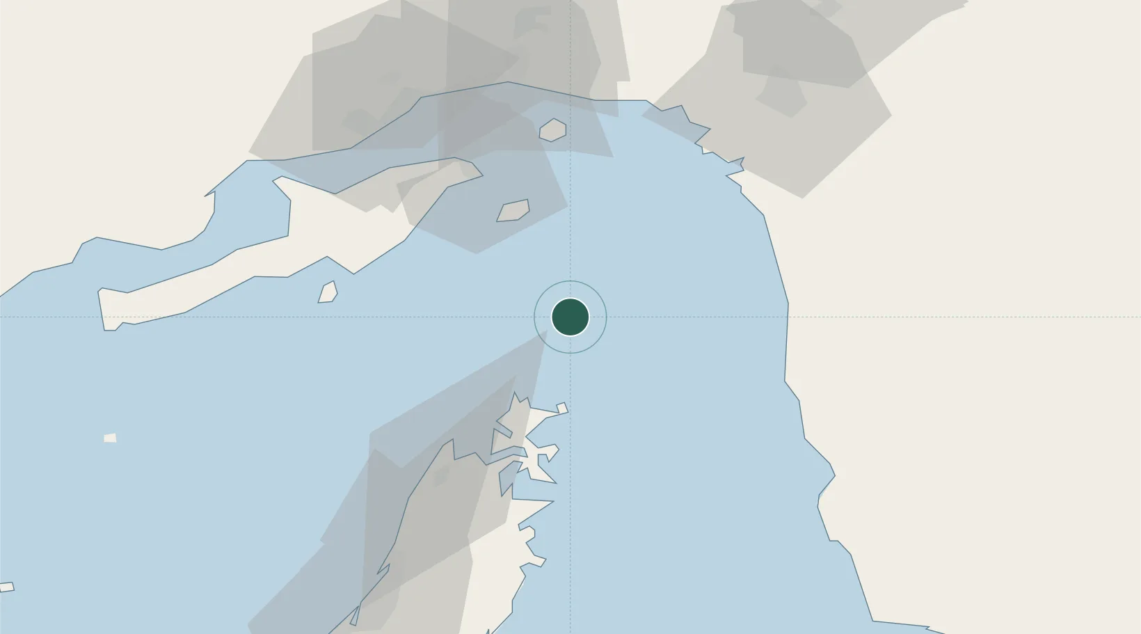
Location
Nearby Logistics Neighbours
Cities
- 1Kuvei66 km
- 2Shahid Bahonar69 km
- 3Bandar Abbas72 km
- 4Shahid Rajaee Pt/Bandar Abbas74 km
- 5Al Jeer Port77 km
Ports
- 1Khawr Khasab50 km
- 2Jazireh-Ye Hormoz58 km
- 3Bandar Abbas70 km
- 4Bandar-E Shahid Rejaie73 km
- 5Mina Saqr81 km
Airports
- 1Khasab Airport54 km
- 2Qeshm International Airport64 km
- 3Bandar Abbas International Airport72 km
- 4Ras Al Khaimah International Airport122 km
- 5Jask Airport165 km
DatabookThe Record of Consolidated Knowledge
Oman beyond logistics?