Medium airport · Iran
Jiroft AirportOIKJ
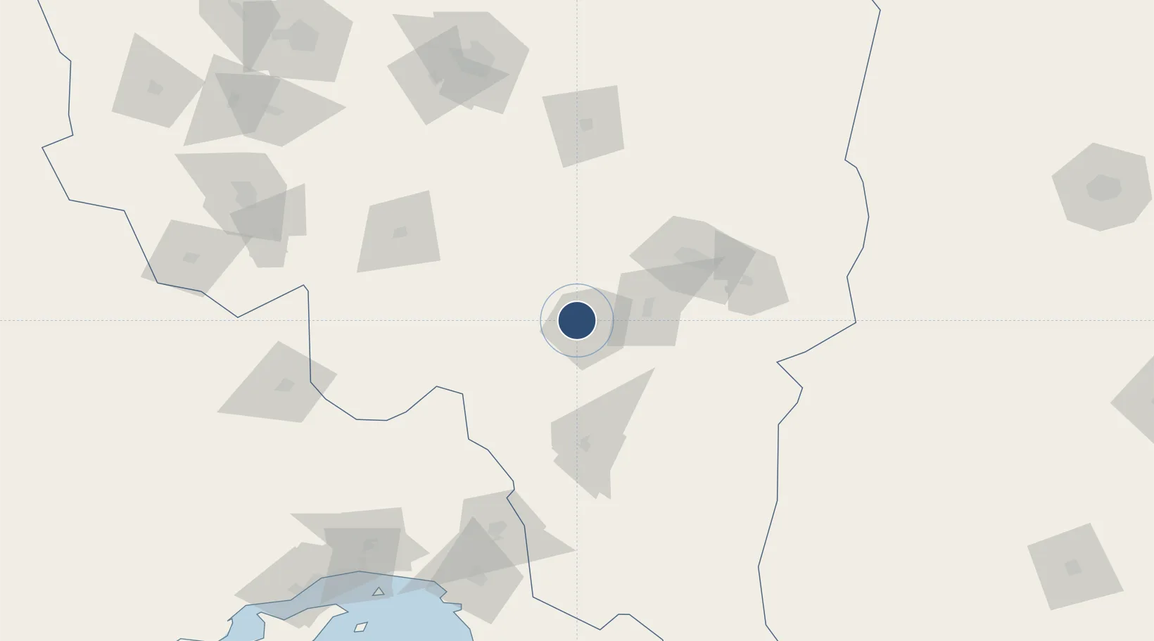
28.7235°, 57.6750°
7,236 ft
Longest runway
1
Runways
2,663 ft
Elevation
Runway & Layout

Radio Frequencies
AAS
118.65 MHz
INFO
Navaids
JIR NDB Jiroft 276 kHz
Runways · 1
| Runway | Dimensions | Surface | True heading | Lit |
|---|---|---|---|---|
| 13/31 | 7,236 × 98ft | Asphalt | 129° | — |
Airport Specifications
IATA code
JYR
ICAO code
OIKJ
Airport class
Medium airport
Scheduled service
No
Runway surface
Asphalt
Served city
Jiroft
Location
Nearby Logistics Neighbours
Airports
- 1Bam Airport85 km
- 2Ayatollah Hashemi Rafsanjani International Airport186 km
- 3Bandar Abbas International Airport210 km
- 4Sirjan Airport215 km
- 5Oghab 44 Airbase224 km
Cities
- 1Shahid Bahonar229 km
- 2Bandar Abbas232 km
- 3Shahid Rajaee Pt/Bandar Abbas239 km
- 4Kuvei257 km
- 5Quoin Island264 km
Ports
- 1Jazireh-Ye Hormoz217 km
- 2Bandar Abbas227 km
- 3Bandar-E Shahid Rejaie240 km
- 4Khawr Khasab313 km
- 5Jask344 km
DatabookThe Record of Consolidated Knowledge
Iran beyond logistics?