Medium airport · Iran

Bandar Lengeh International AirportOIBL
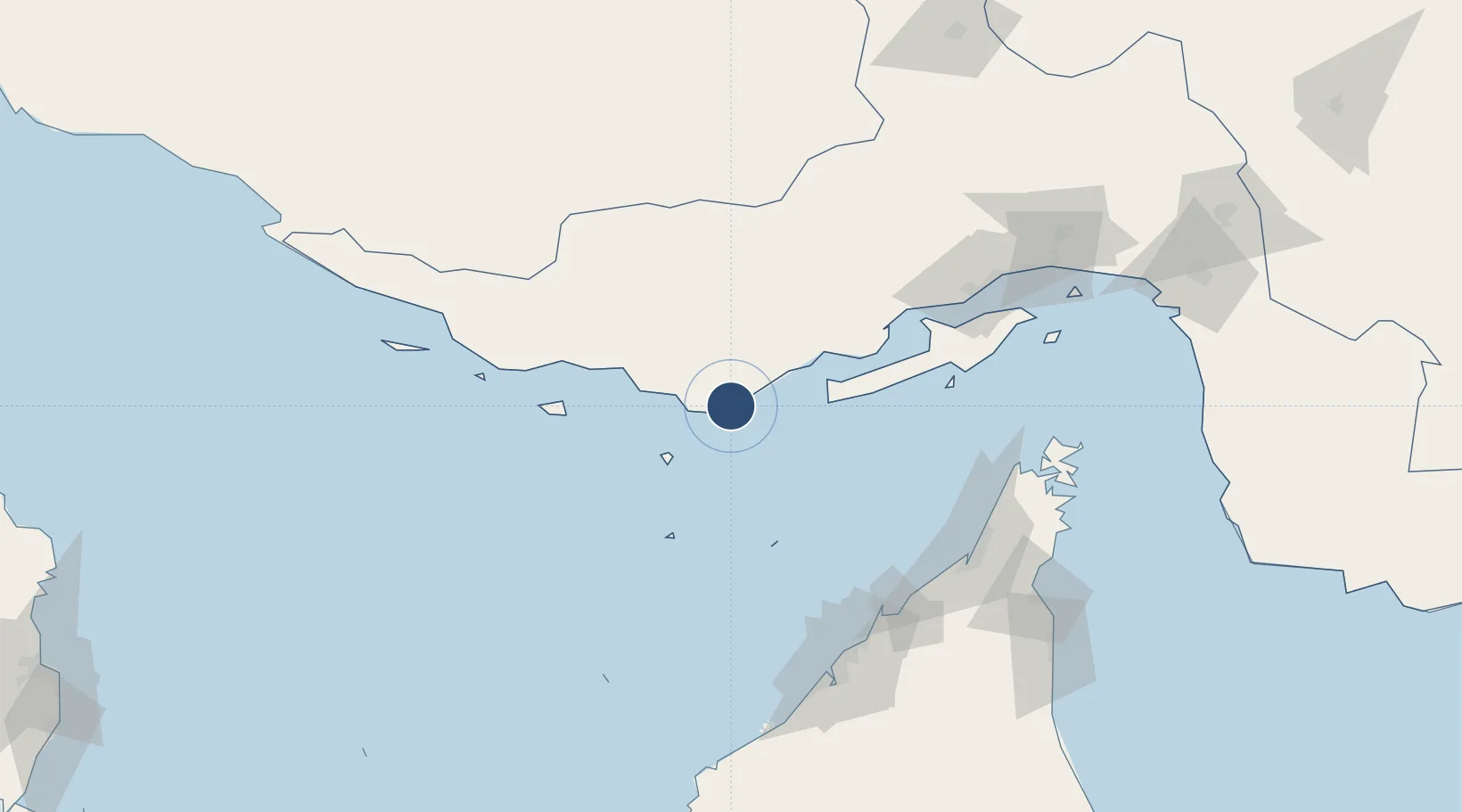
26.5323°, 54.8248°
8,203 ft
Longest runway
1
Runways
67 ft
Elevation

Runway & Layout

Bandar Lengeh International Airport runway & taxiway layout
Runway & taxiway layout — OpenStreetMap (ODbL) / OurAirports

Radio Frequencies

AFIS
121.7 MHz
INFO
OurAirports

Navaids

LEN VOR-DME Bandar Lengeh 114.80 MHz
LEN NDB Bandar Lengeh 408 kHz
OurAirports

Runways · 1

RunwayDimensions SurfaceTrue headingLit
08/26 8,203 × 148ft Asphalt 082°
OurAirports

Airport Specifications

IATA code
BDH
OurAirports
ICAO code
OIBL
OurAirports
Airport class
Medium airport
OurAirports
Scheduled service
Yes
OurAirports
Runway surface
Asphalt
OurAirports
Served city
Bandar Lengeh
OurAirports

Location

Location of OIBL
Natural Earth 10m (public domain) · Hormozgan · OIBL · 26.53, 54.82GoogleOSMYandex

Nearby Logistics Neighbours

Airports
  1. 1Siri Airport75 km
  2. 2Abu Musa Island Airport76 km
  3. 3Kish International Airport84 km
  4. 4Qeshm International Airport110 km
  5. 5Lar Airport134 km
Nearest neighbours — logibook spatial index (haversine) over the source coordinates
Cities
  1. 1Amirabad58 km
  2. 2Abu Musa76 km
  3. 3Kuvei126 km
  4. 4Hulaylah Terminal126 km
  5. 5Umm al Quwain129 km
Nearest neighbours — logibook spatial index (haversine) over the source coordinates
Ports
  1. 1Jazireh-Ye Sirri76 km
  2. 2Fateh Oil Terminal113 km
  3. 3Hulaylah Oil Terminal126 km
  4. 4Umm Al Qaywayn130 km
  5. 5Al Jazeera Port132 km
Nearest neighbours — logibook spatial index (haversine) over the source coordinates
Trade Zones
  1. 1Kish Trade Industrial Free Zone81 km
  2. 2RAKEZ Al Hamra Industrial Zone135 km
  3. 3Ras Al Khaimah Technology Park136 km
  4. 4Ras Al Khaimah Media Free Zone and Film City (RAKMFZ)136 km
  5. 5Hamriyah Free Zone136 km
Nearest neighbours — logibook spatial index (haversine) over the source coordinates
DatabookThe Record of Consolidated Knowledge
Iran beyond logistics?
Browse databook

All Sources

AirportsOurAirports
Public domain
Portsthe NGA World Port Index
Public domain (US gov)
LocationsUN/LOCODE
UN/LOCODE — free
Trade Zonesthe World Bank SEZ database
CC BY 4.0
Trade ZonesOpen Zone Map
CC BY
InfrastructureOpenStreetMap
ODbL 1.0
← Iran airports