Transport Functions
Port
Multimodal
Hub Profile
Region
AZ
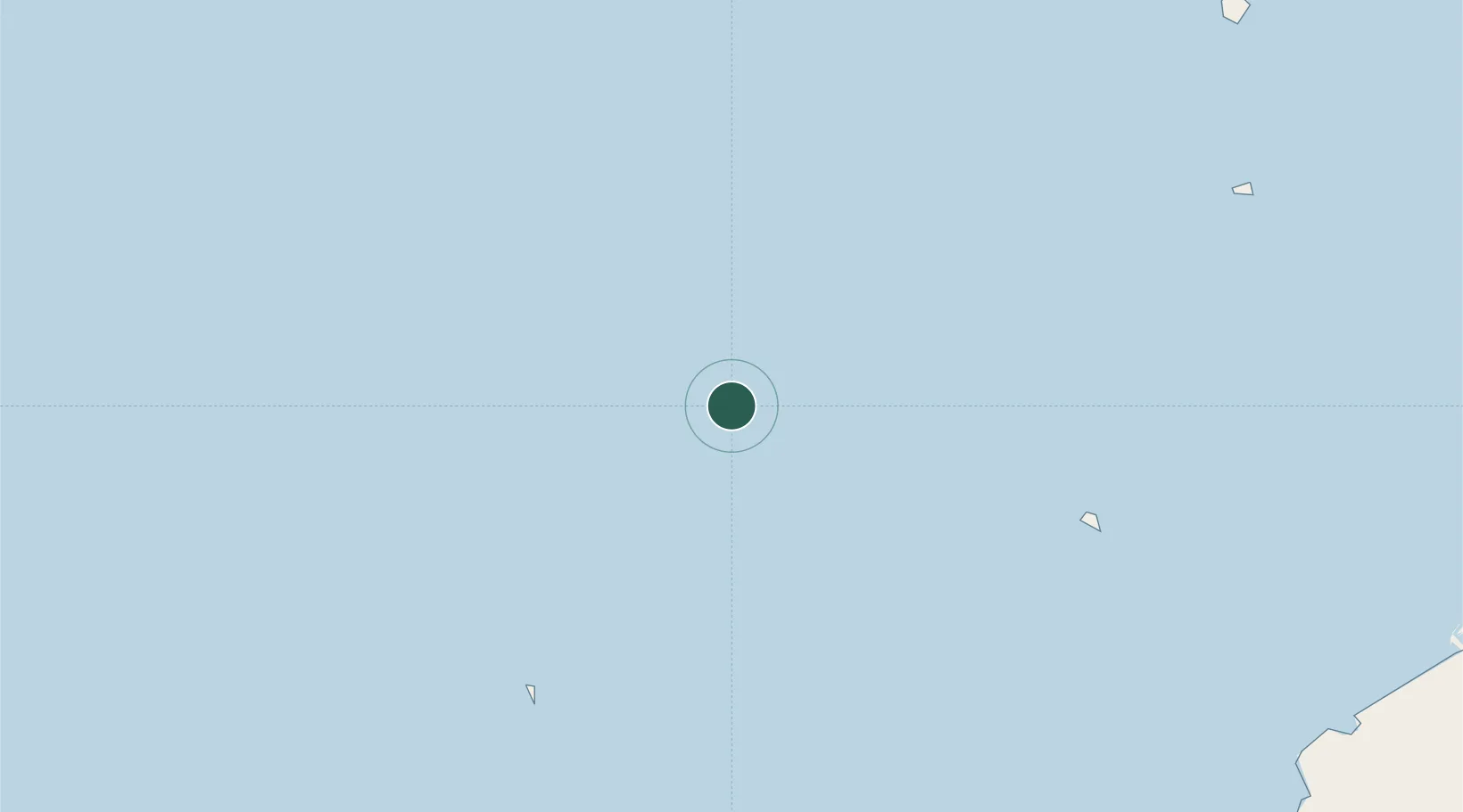
Location
Nearby Logistics Neighbours
Cities
- 1Abu al Bukhoosh35 km
- 2Zirku Island77 km
- 3Mubarras Island100 km
- 4Mina Zayed/Abu Dhabi138 km
- 5Mina Khalifa/Abu Dhabi138 km
Ports
- 1Jazirat Das71 km
- 2Zirkuh Oil Field80 km
- 3Fateh Oil Terminal95 km
- 4Jazirat Halul110 km
- 5Mubarraz Oil Terminal115 km
Airports
- 1Siri Airport117 km
- 2Kish International Airport128 km
- 3Lavan Airport150 km
- 4Al Bateen Executive Airport152 km
- 5Sas Al Nakheel Air Base155 km
Trade Zones
DatabookThe Record of Consolidated Knowledge
United Arab Emirates beyond logistics?