Medium airport · Iran

Abu Musa Island AirportOIBA
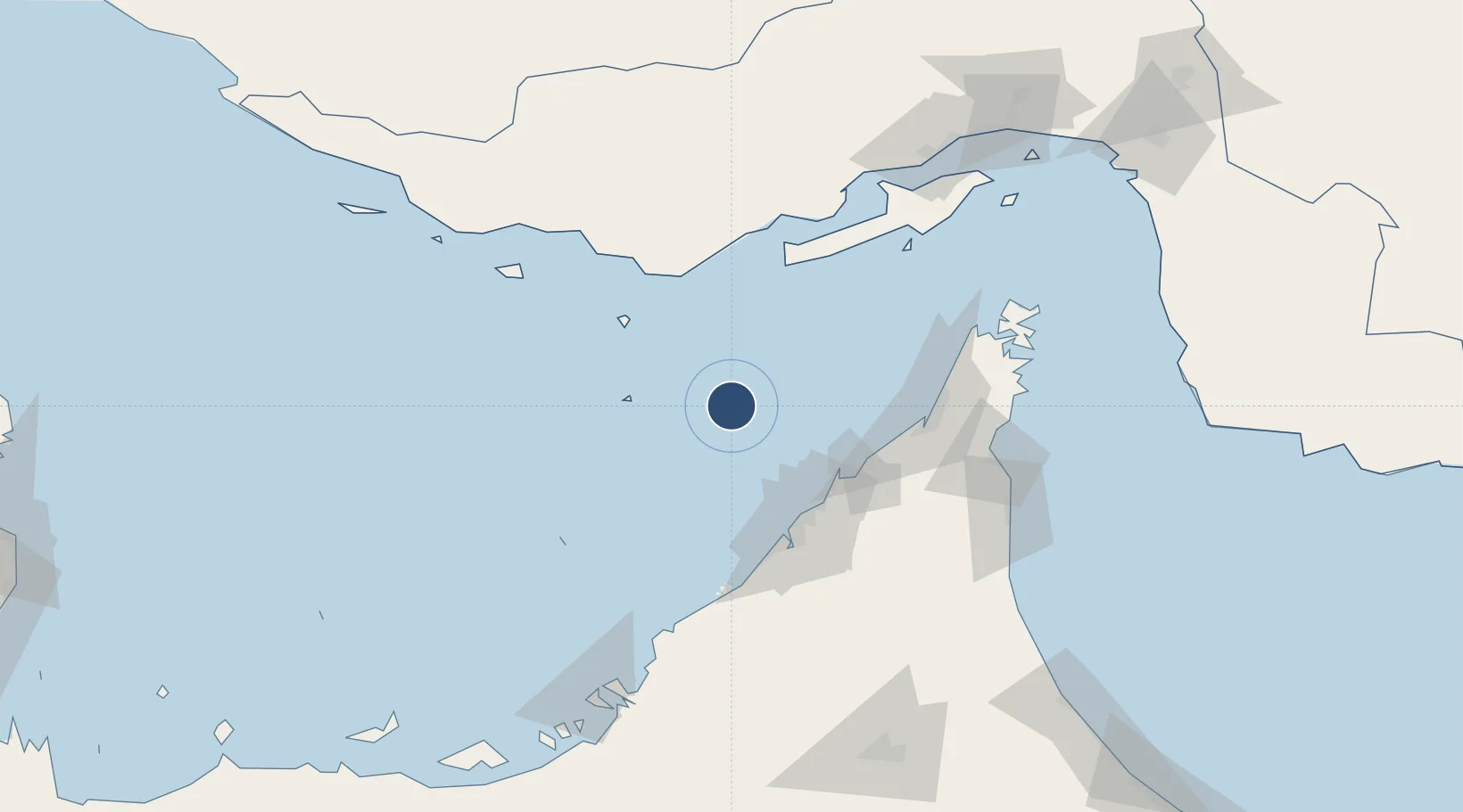
25.8757°, 55.0330°
9,796 ft
Longest runway
1
Runways
23 ft
Elevation

Runway & Layout

Abu Musa Island Airport runway & taxiway layout
Runway & taxiway layout — OpenStreetMap (ODbL) / OurAirports

Radio Frequencies

AFIS
121.9 MHz
INFO
OurAirports

Navaids

ABM NDB Abumusa Island 285 kHz
OurAirports

Runways · 1

RunwayDimensions SurfaceTrue headingLit
08/26 9,796 × 148ft Asphalt 083°
OurAirports

Airport Specifications

IATA code
AEU
OurAirports
ICAO code
OIBA
OurAirports
Airport class
Medium airport
OurAirports
Scheduled service
Yes
OurAirports
Runway surface
Asphalt
OurAirports
Served city
Abu Musa
OurAirports

Location

Location of OIBA
Natural Earth 10m (public domain) · Hormozgan · OIBA · 25.88, 55.03GoogleOSMYandex

Nearby Logistics Neighbours

Airports
  1. 1Siri Airport50 km
  2. 2Bandar Lengeh International Airport76 km
  3. 3Dubai International Airport77 km
  4. 4Sharjah International Airport78 km
  5. 5Ras Al Khaimah International Airport95 km
Nearest neighbours — logibook spatial index (haversine) over the source coordinates
Cities
  1. 1Abu Musa2 km
  2. 2Umm al Quwain64 km
  3. 3Ahmed Bin Rashid Port64 km
  4. 4Ajman66 km
  5. 5Mina Khalid67 km
Nearest neighbours — logibook spatial index (haversine) over the source coordinates
Ports
  1. 1Jazireh-Ye Sirri48 km
  2. 2Umm Al Qaywayn64 km
  3. 3Al Hamriyah Lpg Terminal64 km
  4. 4Ajman65 km
  5. 5Ash Shariqah67 km
Nearest neighbours — logibook spatial index (haversine) over the source coordinates
Trade Zones
  1. 1Hamriyah Free Zone65 km
  2. 2Ajman Free Zone66 km
  3. 3Umm Al Quwain Free Trade Zone67 km
  4. 4Ajman Media City Free Zone68 km
  5. 5Dubai Maritime City71 km
Nearest neighbours — logibook spatial index (haversine) over the source coordinates
DatabookThe Record of Consolidated Knowledge
Iran beyond logistics?
Browse databook

All Sources

AirportsOurAirports
Public domain
Portsthe NGA World Port Index
Public domain (US gov)
LocationsUN/LOCODE
UN/LOCODE — free
Trade Zonesthe World Bank SEZ database
CC BY 4.0
Trade ZonesOpen Zone Map
CC BY
InfrastructureOpenStreetMap
ODbL 1.0
← Iran airports