UN/LOCODE hub · United Arab Emirates
AEAMU
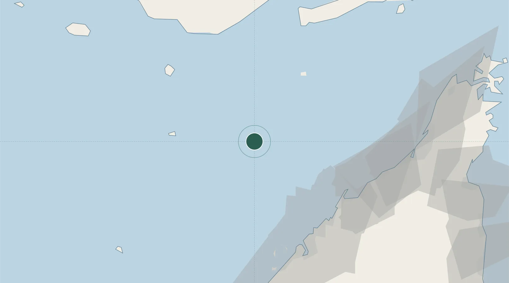
Abu Musa
25.8667°, 55.0167°
4,213
Population
1
Transport functions
Transport Functions
Port
Hub Profile
Place type
Populated place
Population
4,213
Time zone
Asia/Dubai
Elevation
7 m
Location
Nearby Logistics Neighbours
Cities
- 1Umm al Quwain64 km
- 2Ahmed Bin Rashid Port65 km
- 3Ajman66 km
- 4Mina Khalid67 km
- 5Hamriya Free Zone Port70 km
Ports
- 1Jazireh-Ye Sirri47 km
- 2Al Hamriyah Lpg Terminal65 km
- 3Umm Al Qaywayn65 km
- 4Ajman65 km
- 5Ash Shariqah67 km
Airports
Trade Zones
- 1Hamriyah Free Zone65 km
- 2Ajman Free Zone66 km
- 3Umm Al Quwain Free Trade Zone67 km
- 4Ajman Media City Free Zone69 km
- 5Dubai Maritime City71 km
DatabookThe Record of Consolidated Knowledge
United Arab Emirates beyond logistics?