Medium airport · Saudi Arabia
Al-Ula International AirportOEAO
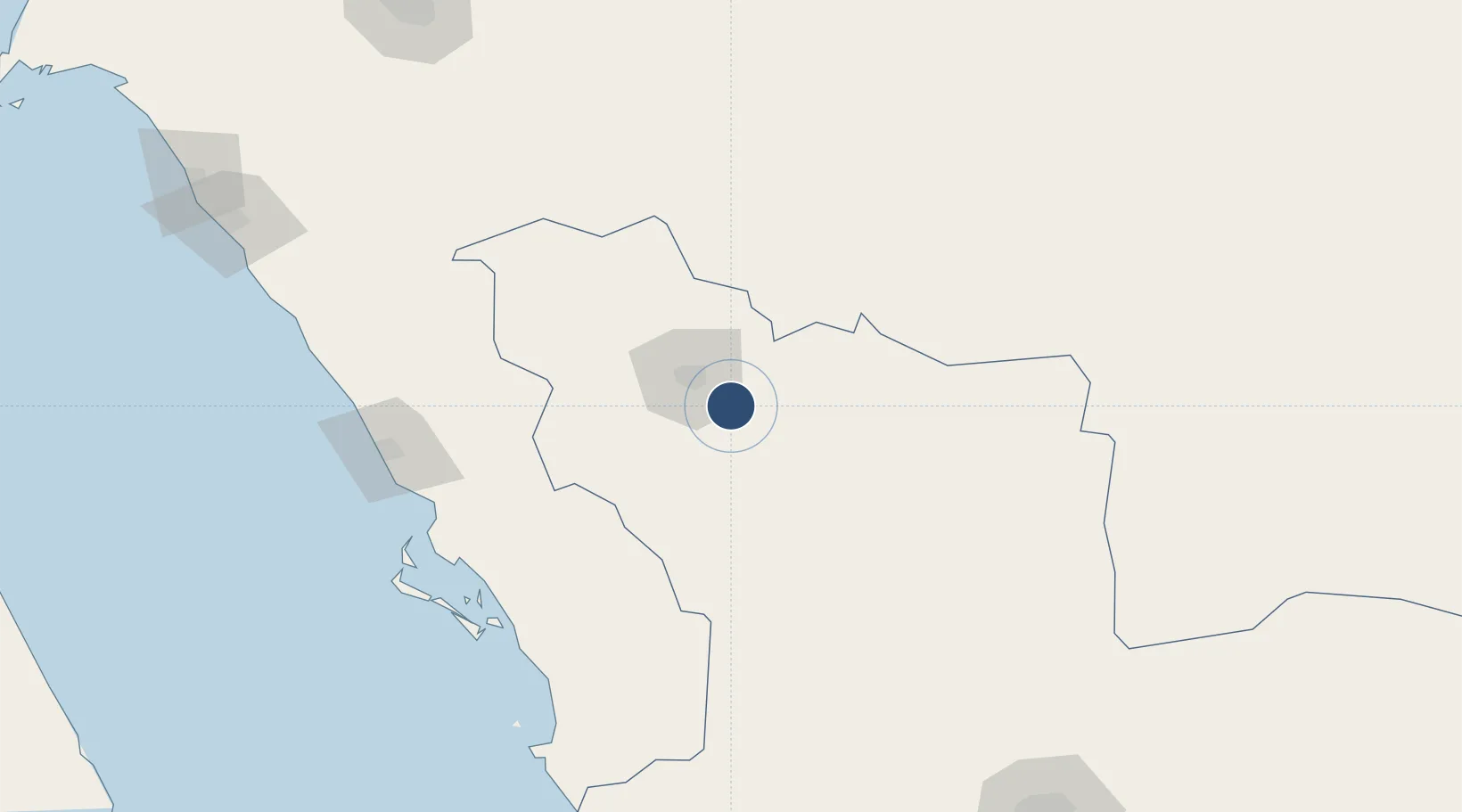
26.4836°, 38.1170°
10,007 ft
Longest runway
1
Runways
2,050 ft
Elevation
Runway & Layout

Runways · 1
| Runway | Dimensions | Surface | True heading | Lit |
|---|---|---|---|---|
| 12/30 | 10,007 × 164ft | asphalt | — | ✓ |
Airport Specifications
IATA code
ULH
ICAO code
OEAO
Airport class
Medium airport
Scheduled service
Yes
Runway surface
asphalt
Served city
Al-Ula
Location
Nearby Logistics Neighbours
Airports
Cities
- 1Umm Lajj184 km
- 2Fiji251 km
- 3Yanbu commercial city269 km
- 4Port of NEOM281 km
- 5Neom281 km
Ports
- 1Yanbu267 km
- 2Duba283 km
- 3Al Qusayr385 km
- 4Hamrawein391 km
- 5Sharm El Sheikh409 km
Trade Zones
- 1Yanbu Modon Oasis258 km
- 2Tabuk Tabō«k Industrial City267 km
- 3Al-Madina Al-Munawwara Industrial City271 km
- 4Knowledge Economic City in Medina273 km
- 5Yanbu Industrial City276 km
DatabookThe Record of Consolidated Knowledge
Saudi Arabia beyond logistics?