Free Trade Zone · Saudi Arabia

Al-Madina Al-Munawwara Industrial City Active
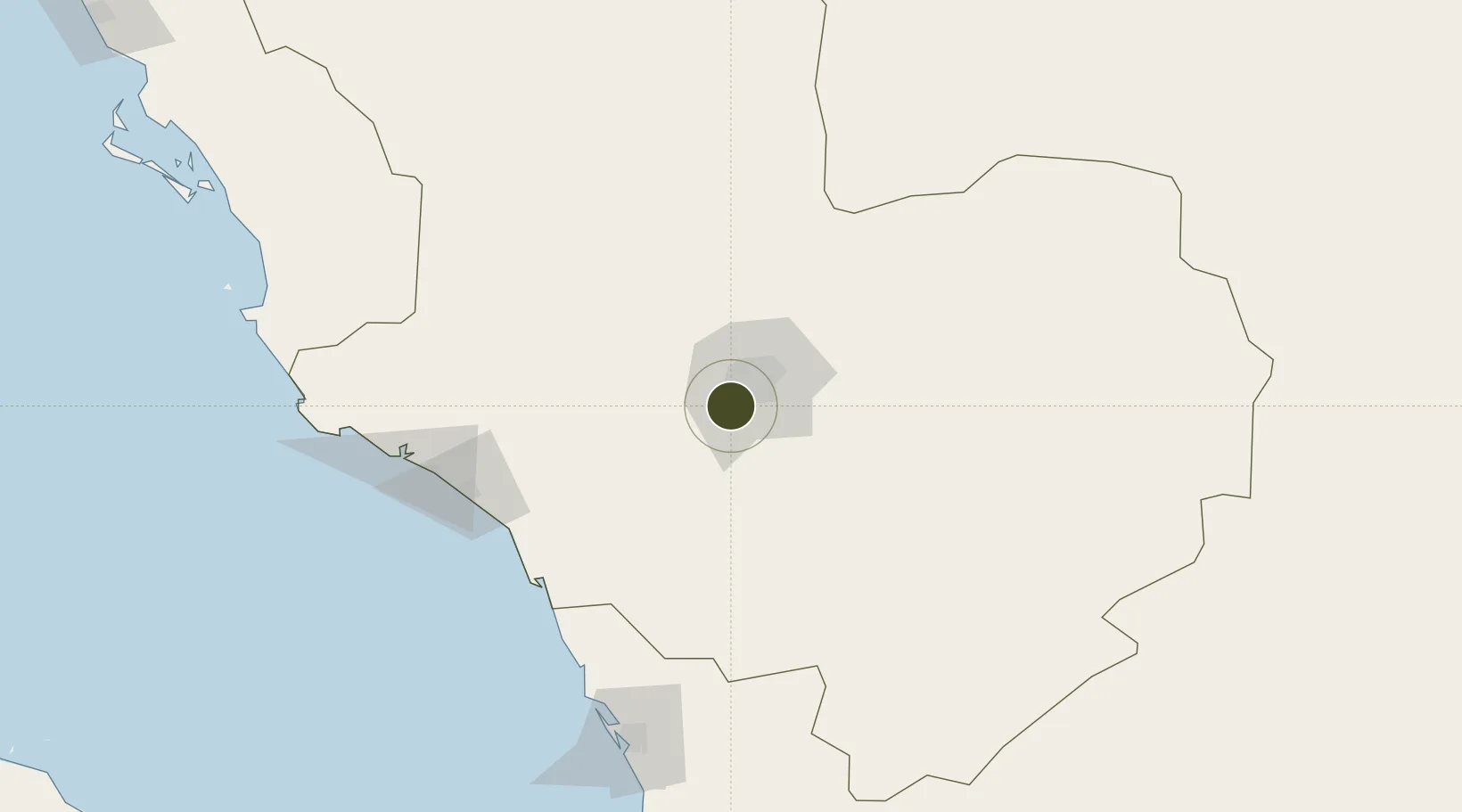
24.3900°, 39.4999°
1,700 ha
Zone area
150.9 km
Nearest port
27.6 km
Nearest airport

Gateway access

Nearest neighbours — logibook spatial index (haversine) over the source coordinates

Zone profile

Zone type
Free Trade Zone
Open Zone Map
Region
Al Madinah
Open Zone Map
Status
Active
Open Zone Map
Management
Public
Open Zone Map
Operator
Saudi Authority for Industrial Estates and Technology Zones
Open Zone Map
Legal framework
Ministerial Legislation No. 235 dated 27/8/1422H
Open Zone Map

Location

Location of ozm-4082
Natural Earth 10m (public domain) · Al Madinah · ozm-4082 · 24.39, 39.50GoogleOSMYandex

Nearby Logistics Neighbours

Ports
  1. 1Yanbu151 km
  2. 2Rabigh192 km
  3. 3Jiddah325 km
  4. 4Duba531 km
  5. 5Al Qusayr558 km
Nearest neighbours — logibook spatial index (haversine) over the source coordinates
Airports
  1. 1Prince Mohammad Bin Abdulaziz Airport28 km
  2. 2Prince Abdulmohsen Bin Abdulaziz International Airport148 km
  3. 3Al-Ula International Airport271 km
  4. 4Red Sea International Airport279 km
  5. 5King Abdulaziz International Airport303 km
Nearest neighbours — logibook spatial index (haversine) over the source coordinates
Cities
  1. 1Fiji96 km
  2. 2Yanbu Industrial City137 km
  3. 3Yanbu commercial city151 km
  4. 4Al Muajjiz153 km
  5. 5Gialtra177 km
Nearest neighbours — logibook spatial index (haversine) over the source coordinates
Trade Zones
  1. 1Knowledge Economic City in Medina21 km
  2. 2Yanbu Industrial City133 km
  3. 3Yanbu Modon Oasis149 km
  4. 4Rābigh Industrial City186 km
  5. 5Petro-Rabigh Private Industrial City192 km
Nearest neighbours — logibook spatial index (haversine) over the source coordinates
DatabookThe Record of Consolidated Knowledge
Saudi Arabia beyond logistics?
Browse databook

All Sources

Trade ZonesOpen Zone Map
CC BY
Portsthe NGA World Port Index
Public domain (US gov)
AirportsOurAirports
Public domain
LocationsUN/LOCODE
UN/LOCODE — free
← Saudi Arabia trade zones