Large airport · Saudi Arabia

Prince Mohammad Bin Abdulaziz AirportOEMA
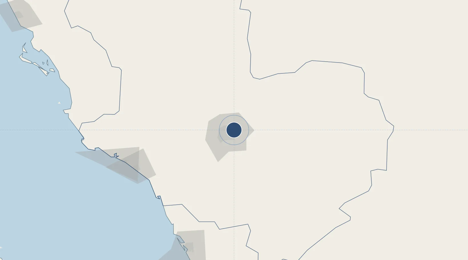
24.5534°, 39.7051°
14,222 ft
Longest runway
2
Runways
2,151 ft
Elevation

Runway & Layout

Prince Mohammad Bin Abdulaziz Airport runway & taxiway layout
Runway & taxiway layout — OpenStreetMap (ODbL) / OurAirports

Radio Frequencies

ATIS
114.1 MHz
ATIS
126.85 MHz
TWR
118.3 MHz
MADINAH TWR
GND
121.9 MHz
APP
124.2 MHz
MADINAH APP
OurAirports

Navaids

PMA VOR-DME Prince Mohammad Bin Abdulaziz 114.10 MHz
OurAirports

Runways · 2

RunwayDimensions SurfaceTrue headingLit
17/35 14,222 × 197ft Asphalt 169°
18/36 10,039 × 147ft Asphalt 184°
OurAirports

Airport Specifications

IATA code
MED
OurAirports
ICAO code
OEMA
OurAirports
Airport class
Large airport
OurAirports
Scheduled service
Yes
OurAirports
Runway surface
Asphalt
OurAirports
Served city
Medina
OurAirports

Location

Location of OEMA
Natural Earth 10m (public domain) · Al Madinah · OEMA · 24.55, 39.71GoogleOSMYandex

Nearby Logistics Neighbours

Airports
  1. 1Prince Abdulmohsen Bin Abdulaziz International Airport172 km
  2. 2Al-Ula International Airport267 km
  3. 3Red Sea International Airport289 km
  4. 4King Abdulaziz International Airport324 km
  5. 5Mecca East Airport348 km
Nearest neighbours — logibook spatial index (haversine) over the source coordinates
Cities
  1. 1Fiji120 km
  2. 2Yanbu Industrial City163 km
  3. 3Yanbu commercial city176 km
  4. 4Al Muajjiz181 km
  5. 5Gialtra202 km
Nearest neighbours — logibook spatial index (haversine) over the source coordinates
Ports
  1. 1Yanbu176 km
  2. 2Rabigh215 km
  3. 3Jiddah346 km
  4. 4Duba535 km
  5. 5Al Qusayr571 km
Nearest neighbours — logibook spatial index (haversine) over the source coordinates
Trade Zones
  1. 1Knowledge Economic City in Medina9 km
  2. 2Al-Madina Al-Munawwara Industrial City28 km
  3. 3Yanbu Industrial City159 km
  4. 4Yanbu Modon Oasis173 km
  5. 5Rābigh Industrial City210 km
Nearest neighbours — logibook spatial index (haversine) over the source coordinates
DatabookThe Record of Consolidated Knowledge
Saudi Arabia beyond logistics?
Browse databook

All Sources

AirportsOurAirports
Public domain
Portsthe NGA World Port Index
Public domain (US gov)
LocationsUN/LOCODE
UN/LOCODE — free
Trade Zonesthe World Bank SEZ database
CC BY 4.0
Trade ZonesOpen Zone Map
CC BY
InfrastructureOpenStreetMap
ODbL 1.0
← Saudi Arabia airports