Free Trade Zone · Saudi Arabia

Yanbu Industrial City Active
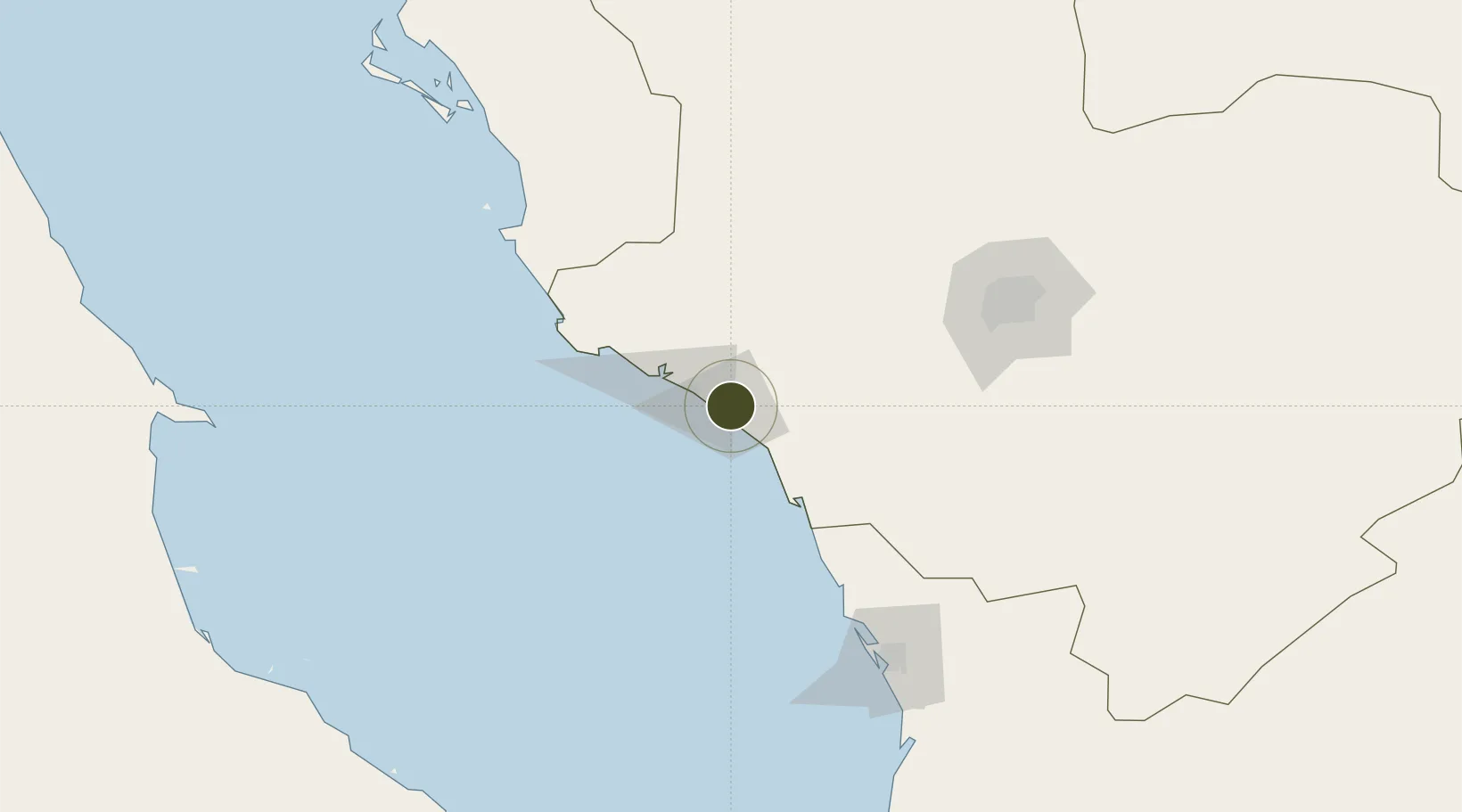
24.0054°, 38.2599°
18,500 ha
Zone area
23.0 km
Nearest port
25.2 km
Nearest airport

Gateway access

Nearest neighbours — logibook spatial index (haversine) over the source coordinates

Zone profile

Zone type
Free Trade Zone
Open Zone Map
Region
Al Madinah
Open Zone Map
Status
Active
Open Zone Map
Management
Public
Open Zone Map
Operator
Royal Commision for Jubail and Yanbu
Open Zone Map
Legal framework
Royal Decree No. M/75 Dated Sept. 21, 1975.
Open Zone Map

Location

Location of ozm-4098
Natural Earth 10m (public domain) · Al Madinah · ozm-4098 · 24.01, 38.26GoogleOSMYandex

Nearby Logistics Neighbours

Ports
  1. 1Yanbu23 km
  2. 2Rabigh160 km
  3. 3Jiddah296 km
  4. 4Al Qusayr463 km
  5. 5Hamrawein479 km
Nearest neighbours — logibook spatial index (haversine) over the source coordinates
Airports
  1. 1Prince Abdulmohsen Bin Abdulaziz International Airport25 km
  2. 2Prince Mohammad Bin Abdulaziz Airport159 km
  3. 3Red Sea International Airport216 km
  4. 4King Abdulaziz International Airport274 km
  5. 5Al-Ula International Airport276 km
Nearest neighbours — logibook spatial index (haversine) over the source coordinates
Cities
  1. 1Yanbu Industrial City8 km
  2. 2Yanbu commercial city22 km
  3. 3Fiji43 km
  4. 4Al Muajjiz61 km
  5. 5Gialtra135 km
Nearest neighbours — logibook spatial index (haversine) over the source coordinates
Trade Zones
  1. 1Yanbu Modon Oasis28 km
  2. 2Al-Madina Al-Munawwara Industrial City133 km
  3. 3Knowledge Economic City in Medina154 km
  4. 4Rābigh Industrial City162 km
  5. 5Petro-Rabigh Private Industrial City163 km
Nearest neighbours — logibook spatial index (haversine) over the source coordinates
DatabookThe Record of Consolidated Knowledge
Saudi Arabia beyond logistics?
Browse databook

All Sources

Trade ZonesOpen Zone Map
CC BY
Portsthe NGA World Port Index
Public domain (US gov)
AirportsOurAirports
Public domain
LocationsUN/LOCODE
UN/LOCODE — free
← Saudi Arabia trade zones