UN/LOCODE hub · Saudi Arabia
SAFJJ

Fiji

24.2667°, 38.5667°
1
Transport functions

Transport Functions

Multimodal
UN/LOCODE

Hub Profile

Place type
Populated place
GeoNames
Region
Medina Region
GeoNames
Time zone
Asia/Riyadh
GeoNames
Elevation
214 m
GeoNames

Location

Location of SAFJJ
Natural Earth 10m (public domain) · Medina Region · SAFJJ · 24.27, 38.57GoogleOSMYandex

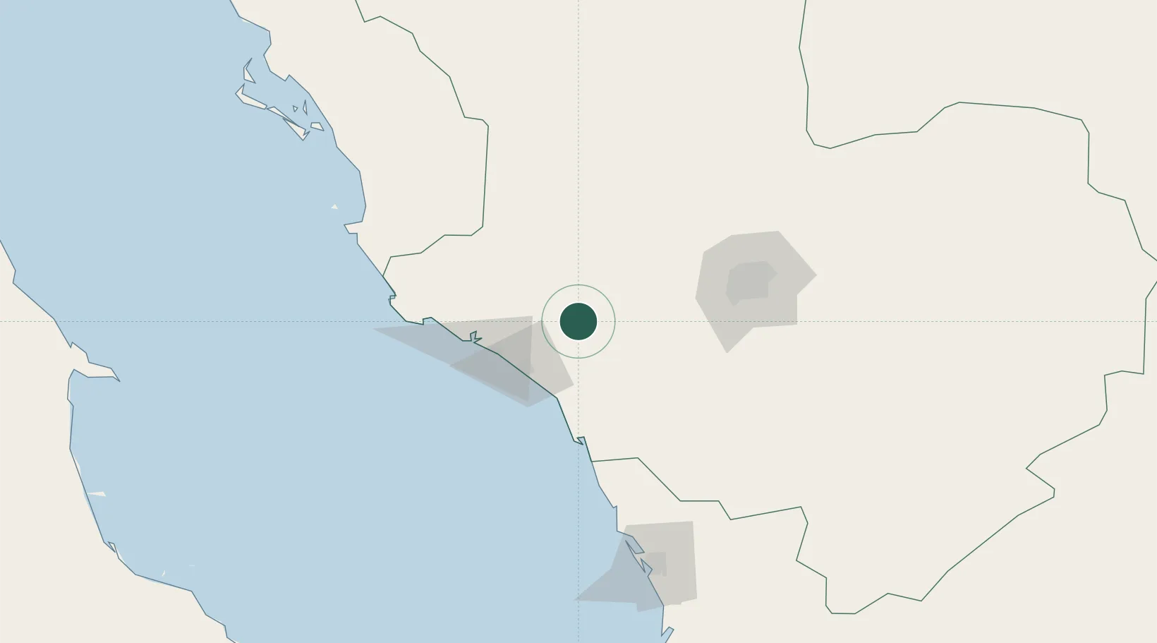
Nearby Logistics Neighbours

Cities
  1. 1Yanbu Industrial City49 km
  2. 2Yanbu commercial city57 km
  3. 3Al Muajjiz91 km
  4. 4Gialtra153 km
  5. 5Umm Lajj156 km
Nearest neighbours — logibook spatial index (haversine) over the source coordinates
Ports
  1. 1Yanbu56 km
  2. 2Rabigh176 km
  3. 3Jiddah316 km
  4. 4Duba476 km
  5. 5Al Qusayr477 km
Nearest neighbours — logibook spatial index (haversine) over the source coordinates
Airports
  1. 1Prince Abdulmohsen Bin Abdulaziz International Airport53 km
  2. 2Prince Mohammad Bin Abdulaziz Airport120 km
  3. 3Red Sea International Airport212 km
  4. 4Al-Ula International Airport251 km
  5. 5King Abdulaziz International Airport294 km
Nearest neighbours — logibook spatial index (haversine) over the source coordinates
Trade Zones
  1. 1Yanbu Industrial City43 km
  2. 2Yanbu Modon Oasis54 km
  3. 3Al-Madina Al-Munawwara Industrial City96 km
  4. 4Knowledge Economic City in Medina116 km
  5. 5Rābigh Industrial City176 km
Nearest neighbours — logibook spatial index (haversine) over the source coordinates
DatabookThe Record of Consolidated Knowledge
Saudi Arabia beyond logistics?
Browse databook

All Sources

LocationsUN/LOCODE
UN/LOCODE — free
Portsthe NGA World Port Index
Public domain (US gov)
AirportsOurAirports
Public domain
Trade Zonesthe World Bank SEZ database
CC BY 4.0
Trade ZonesOpen Zone Map
CC BY
← Saudi Arabia locations