Transport Functions
Port
Road
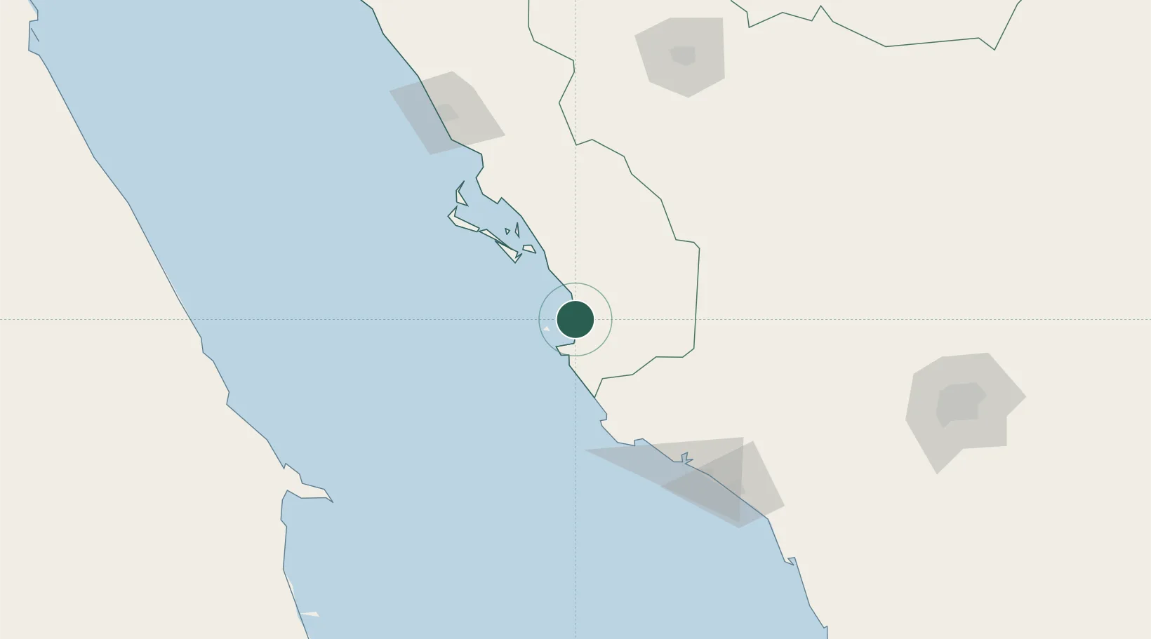
Location
Nearby Logistics Neighbours
Cities
- 1Yanbu commercial city132 km
- 2Fiji156 km
- 3Yanbu Industrial City156 km
- 4Al Muajjiz206 km
- 5Abu Ghosoun218 km
Airports
Trade Zones
- 1Yanbu Modon Oasis124 km
- 2Yanbu Industrial City151 km
- 3Al-Madina Al-Munawwara Industrial City236 km
- 4Knowledge Economic City in Medina252 km
- 5Rābigh Industrial City311 km
DatabookThe Record of Consolidated Knowledge
Saudi Arabia beyond logistics?