Free Trade Zone · Saudi Arabia

Knowledge Economic City in Medina Active
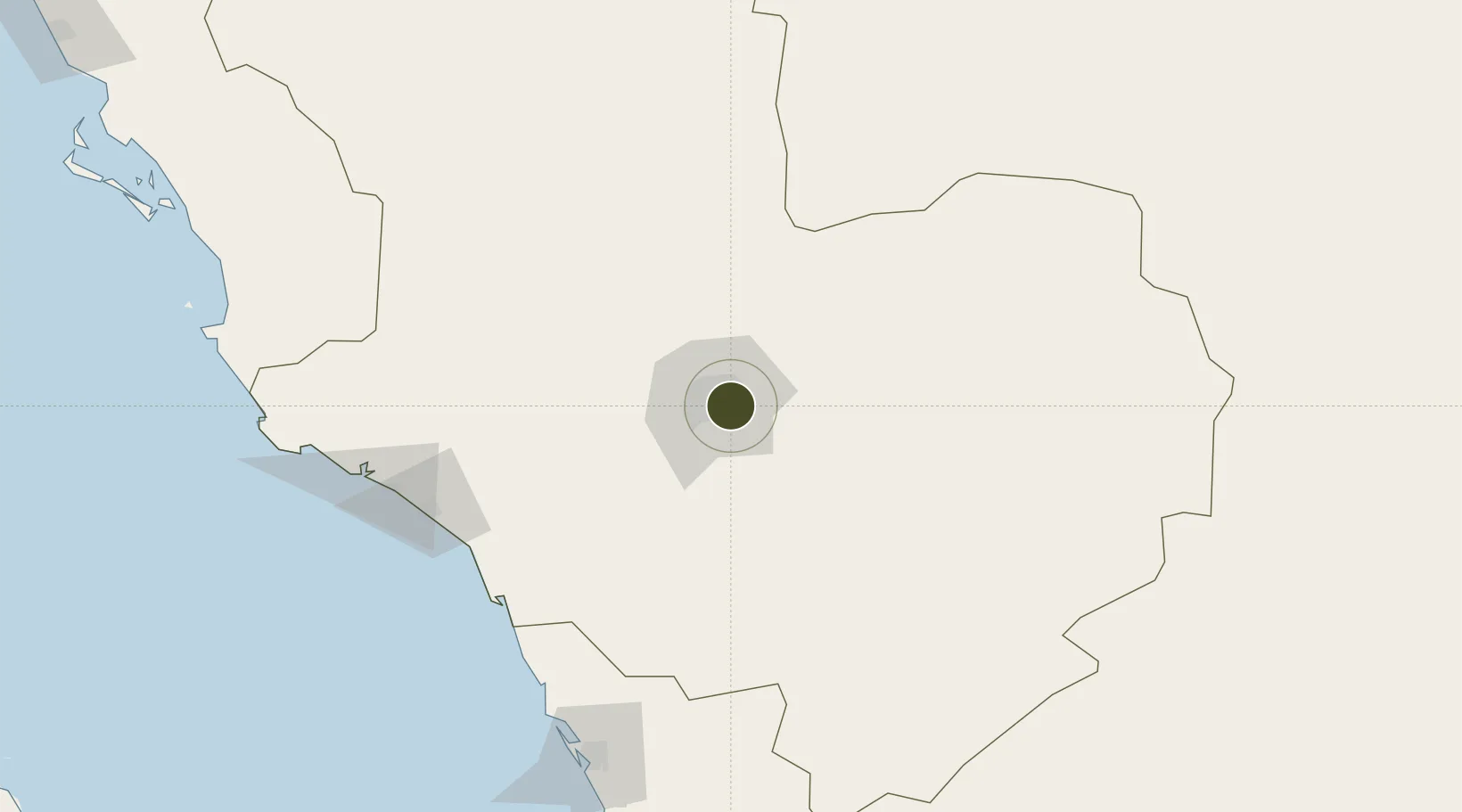
24.4767°, 39.6875°
480 ha
Zone area
171.6 km
Nearest port
8.7 km
Nearest airport

Gateway access

Nearest neighbours — logibook spatial index (haversine) over the source coordinates

Zone profile

Zone type
Free Trade Zone
Open Zone Map
Region
Al Madinah
Open Zone Map
Status
Active
Open Zone Map
Management
Public
Open Zone Map
Operator
Economic Cities and Special Zones Authority
Open Zone Map
Legal framework
Foreign Investment Act, April 2000.
Open Zone Map

Location

Location of ozm-4071
Natural Earth 10m (public domain) · Al Madinah · ozm-4071 · 24.48, 39.69GoogleOSMYandex

Nearby Logistics Neighbours

Ports
  1. 1Yanbu172 km
  2. 2Rabigh207 km
  3. 3Jiddah337 km
  4. 4Duba539 km
  5. 5Al Qusayr573 km
Nearest neighbours — logibook spatial index (haversine) over the source coordinates
Airports
  1. 1Prince Mohammad Bin Abdulaziz Airport9 km
  2. 2Prince Abdulmohsen Bin Abdulaziz International Airport169 km
  3. 3Al-Ula International Airport273 km
  4. 4Red Sea International Airport291 km
  5. 5King Abdulaziz International Airport316 km
Nearest neighbours — logibook spatial index (haversine) over the source coordinates
Cities
  1. 1Fiji116 km
  2. 2Yanbu Industrial City158 km
  3. 3Yanbu commercial city172 km
  4. 4Al Muajjiz174 km
  5. 5Gialtra193 km
Nearest neighbours — logibook spatial index (haversine) over the source coordinates
Trade Zones
  1. 1Al-Madina Al-Munawwara Industrial City21 km
  2. 2Yanbu Industrial City154 km
  3. 3Yanbu Modon Oasis169 km
  4. 4Rābigh Industrial City201 km
  5. 5Petro-Rabigh Private Industrial City207 km
Nearest neighbours — logibook spatial index (haversine) over the source coordinates
DatabookThe Record of Consolidated Knowledge
Saudi Arabia beyond logistics?
Browse databook

All Sources

Trade ZonesOpen Zone Map
CC BY
Portsthe NGA World Port Index
Public domain (US gov)
AirportsOurAirports
Public domain
LocationsUN/LOCODE
UN/LOCODE — free
← Saudi Arabia trade zones