Free Trade Zone · Saudi Arabia

Dammam Industrial City (Second) Active
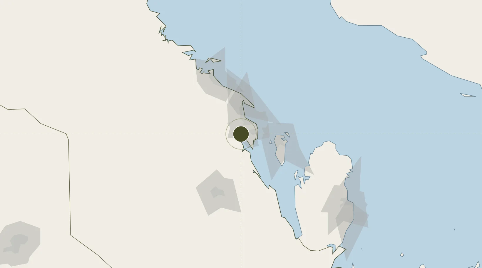
26.2572°, 49.9710°
2,500 ha
Zone area
35.3 km
Nearest port
18.1 km
Nearest airport

Gateway access

Nearest neighbours — logibook spatial index (haversine) over the source coordinates

Zone profile

Zone type
Free Trade Zone
Open Zone Map
Region
Ash Sharqiyah
Open Zone Map
Status
Active
Open Zone Map
Management
Public
Open Zone Map
Operator
Saudi Authority for Industrial Estates and Technology Zones
Open Zone Map
Legal framework
Ministerial Legislation No. 235 dated 27/8/1422H
Open Zone Map

Location

Location of ozm-4086
Natural Earth 10m (public domain) · Ash Sharqiyah · ozm-4086 · 26.26, 49.97GoogleOSMYandex

Nearby Logistics Neighbours

Ports
  1. 1Dammam35 km
  2. 2Ras Tannurah46 km
  3. 3Al Manamah61 km
  4. 4Mina Salman66 km
  5. 5Sitrah70 km
Nearest neighbours — logibook spatial index (haversine) over the source coordinates
Airports
  1. 1King Abdulaziz Air Base18 km
  2. 2King Fahd International Airport29 km
  3. 3Ras Tanura Airport52 km
  4. 4Bahrain International Airport67 km
  5. 5Sheik Isa Air Base72 km
Nearest neighbours — logibook spatial index (haversine) over the source coordinates
Cities
  1. 1Al Khobar23 km
  2. 2Ad Dammam29 km
  3. 3Ras Tanura46 km
  4. 4Qalali51 km
  5. 5Al Hajar53 km
Nearest neighbours — logibook spatial index (haversine) over the source coordinates
Trade Zones
  1. 1Dammam Industrial City (First)23 km
  2. 2Dammam Industrial City (Third)36 km
  3. 3King Salman Energy City SPARK39 km
  4. 4Bahrain International Airport65 km
  5. 5Bahrain Investment Wharf (BIW)70 km
Nearest neighbours — logibook spatial index (haversine) over the source coordinates
DatabookThe Record of Consolidated Knowledge
Saudi Arabia beyond logistics?
Browse databook

All Sources

Trade ZonesOpen Zone Map
CC BY
Portsthe NGA World Port Index
Public domain (US gov)
AirportsOurAirports
Public domain
LocationsUN/LOCODE
UN/LOCODE — free
← Saudi Arabia trade zones