Free Trade Zone · Saudi Arabia

Dammam Industrial City (Third) Under Development
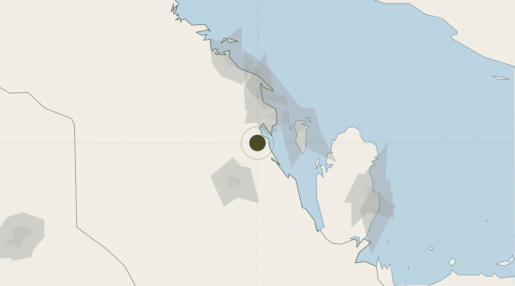
25.9348°, 49.9530°
4,800 ha
Zone area
67.5 km
Nearest port
41.8 km
Nearest airport

Gateway access

Nearest neighbours — logibook spatial index (haversine) over the source coordinates

Zone profile

Zone type
Free Trade Zone
Open Zone Map
Region
Ash Sharqiyah
Open Zone Map
Status
Under Development
Open Zone Map
Management
Public
Open Zone Map
Operator
Saudi Authority for Industrial Estates and Technology Zones
Open Zone Map
Legal framework
Ministerial Legislation No. 235 dated 27/8/1422H
Open Zone Map

Location

Location of ozm-4088
Natural Earth 10m (public domain) · Ash Sharqiyah · ozm-4088 · 25.93, 49.95GoogleOSMYandex

Nearby Logistics Neighbours

Ports
  1. 1Dammam68 km
  2. 2Al Manamah71 km
  3. 3Mina Salman74 km
  4. 4Sitrah76 km
  5. 5Ras Tannurah81 km
Nearest neighbours — logibook spatial index (haversine) over the source coordinates
Airports
  1. 1King Abdulaziz Air Base42 km
  2. 2King Fahd International Airport61 km
  3. 3Sheik Isa Air Base64 km
  4. 4Bahrain International Airport78 km
  5. 5Al-Ahsa International Airport86 km
Nearest neighbours — logibook spatial index (haversine) over the source coordinates
Cities
  1. 1Al Khobar46 km
  2. 2Madinat Hamad58 km
  3. 3Hamad Town58 km
  4. 4Ad Dammam61 km
  5. 5Al Hajar62 km
Nearest neighbours — logibook spatial index (haversine) over the source coordinates
Trade Zones
  1. 1King Salman Energy City SPARK8 km
  2. 2Dammam Industrial City (Second)36 km
  3. 3Dammam Industrial City (First)55 km
  4. 4Al-Ahsa Al-Aḥsāʾ Industrial City Hasa (First)76 km
  5. 5Bahrain International Airport77 km
Nearest neighbours — logibook spatial index (haversine) over the source coordinates
DatabookThe Record of Consolidated Knowledge
Saudi Arabia beyond logistics?
Browse databook

All Sources

Trade ZonesOpen Zone Map
CC BY
Portsthe NGA World Port Index
Public domain (US gov)
AirportsOurAirports
Public domain
LocationsUN/LOCODE
UN/LOCODE — free
← Saudi Arabia trade zones