Runway & Layout

Airport Specifications
IATA code
MFJ
ICAO code
NFMO
Airport class
Small airport
Scheduled service
Yes
Served city
Moala
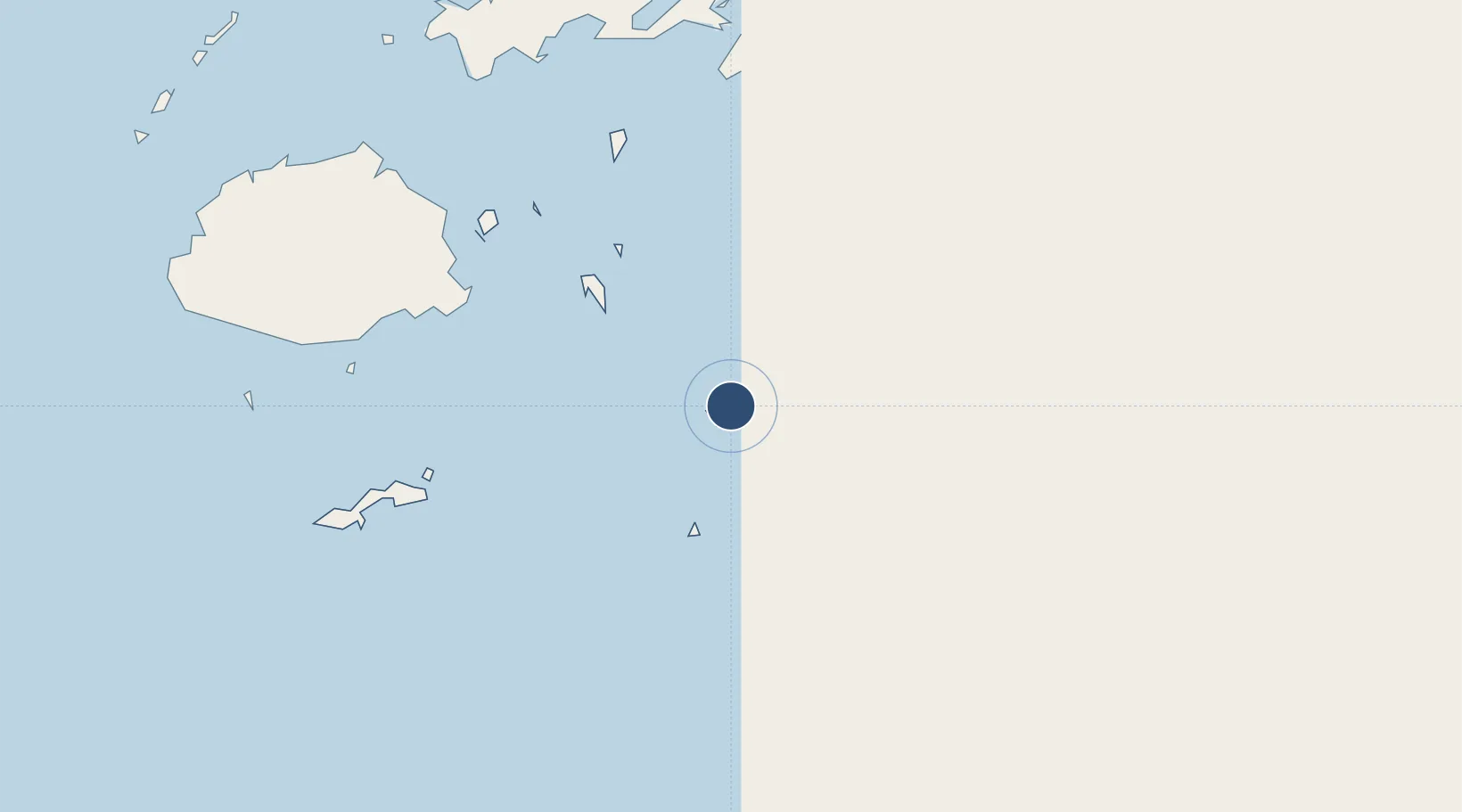
Location
Nearby Logistics Neighbours
Airports
- 1Ngau Airport82 km
- 2Koro Island Airport147 km
- 3Nausori International Airport158 km
- 4Levuka Airfield158 km
- 5Vunisea Airport197 km
Cities
- 1Suva187 km
- 2Nambouwalu220 km
- 3Ellington Wharf228 km
- 4Wairiki228 km
- 5Labasa247 km
Ports
- 1Suva Harbor169 km
- 2Savusavu Bay211 km
- 3Lautoka Harbor285 km
- 4Funafuti Atoll1121 km
- 5Port Vila1233 km
Trade Zones
- 1Nausori-Ba Tax-Free Region162 km
- 2Kalabu Tax Free Zone164 km
- 3Rotuma-Kadavu Tax-Free Region168 km
- 4Savusavu Industrial Zone209 km
- 5Vanua Levu Tax-Free Region238 km
DatabookThe Record of Consolidated Knowledge
Fiji beyond logistics?