Transport Functions
Port
Airport
Hub Profile
Place type
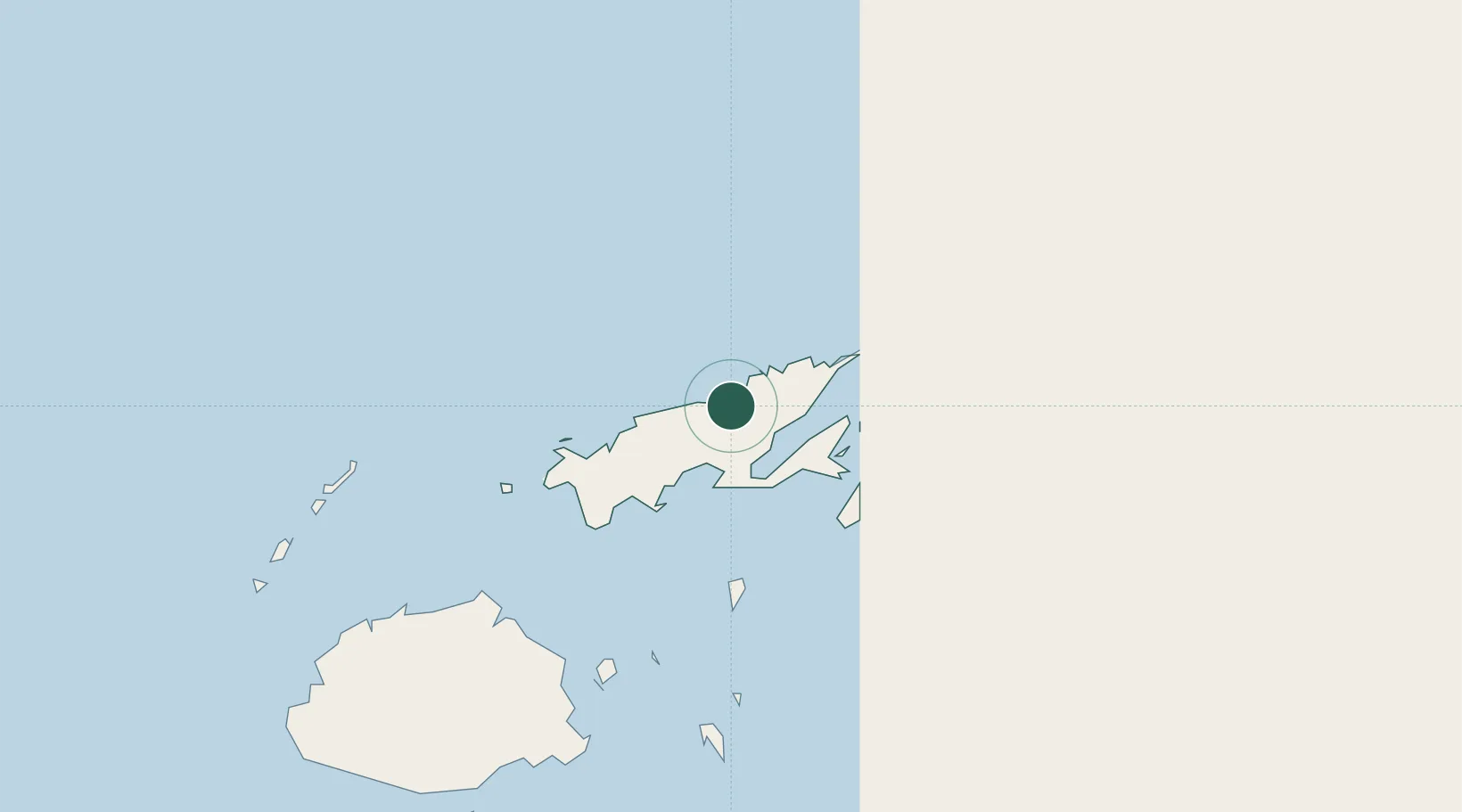
Regional capital
Region
Northern
Population
27,949
Time zone
Pacific/Fiji
Elevation
5 m
Location
Nearby Logistics Neighbours
Cities
- 1Malau (Labasa)6 km
- 2Wairiki94 km
- 3Nambouwalu96 km
- 4Ellington Wharf162 km
- 5Vatia Wharf204 km
Ports
- 1Savusavu Bay39 km
- 2Suva Harbor217 km
- 3Lautoka Harbor244 km
- 4Funafuti Atoll879 km
- 5Port Vila1185 km
Airports
- 1Labasa Airport7 km
- 2Savusavu Airport43 km
- 3Koro Island Airport103 km
- 4Levuka Airfield159 km
- 5Ngau Airport189 km
Trade Zones
- 1Savusavu Industrial Zone41 km
- 2Vanua Levu Tax-Free Region46 km
- 3Nausori-Ba Tax-Free Region201 km
- 4Kalabu Tax Free Zone209 km
- 5Rotuma-Kadavu Tax-Free Region217 km
DatabookThe Record of Consolidated Knowledge
Fiji beyond logistics?