Runway & Layout

Airport Specifications
Airport class
Medium airport
Scheduled service
No
Served city
Agadez
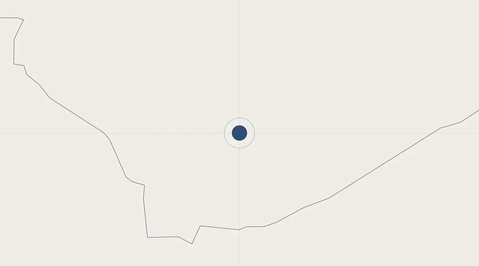
Location
Nearby Logistics Neighbours
Airports
- 1Mano Dayak International Airport2 km
- 2Zinder Airport368 km
- 3Tahoua Airport374 km
- 4Maradi Airport396 km
- 5Umaru Musa Yar'adua Airport441 km
Ports
- 1Koko1250 km
- 2Sapele1255 km
- 3Lagos1277 km
- 4Tin Can Island1284 km
- 5Ukpokiti Marine Terminal1295 km
Trade Zones
- 1Maradi Free Zone400 km
- 2Maigatari Border Free Trade Zone485 km
- 3Kano Free Trade Zone546 km
- 4Dosso Dry Port679 km
- 5Plateau de Bougoum Industrial Zone744 km
DatabookThe Record of Consolidated Knowledge
Niger beyond logistics?