Medium airport · Niger
Mano Dayak International AirportDRZA
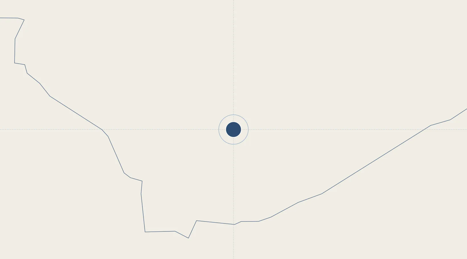
16.9660°, 8.0001°
9,843 ft
Longest runway
1
Runways
1,657 ft
Elevation
Runway & Layout

Radio Frequencies
TWR
118.1 MHz
AGADES TWR
Navaids
AS VOR Agades 113.50 MHz
AS NDB Agades 340 kHz
Runways · 1
| Runway | Dimensions | Surface | True heading | Lit |
|---|---|---|---|---|
| 07/25 | 9,843 × 98ft | Asphalt | 068° | ✓ |
Airport Specifications
IATA code
AJY
ICAO code
DRZA
Airport class
Medium airport
Scheduled service
No
Runway surface
Asphalt
Served city
Agadez
Location
Nearby Logistics Neighbours
Airports
- 1Niger Air Base 2012 km
- 2Zinder Airport370 km
- 3Tahoua Airport374 km
- 4Maradi Airport396 km
- 5Umaru Musa Yar'adua Airport442 km
Ports
- 1Koko1250 km
- 2Sapele1256 km
- 3Lagos1277 km
- 4Tin Can Island1284 km
- 5Ukpokiti Marine Terminal1296 km
Trade Zones
- 1Maradi Free Zone401 km
- 2Maigatari Border Free Trade Zone487 km
- 3Kano Free Trade Zone548 km
- 4Dosso Dry Port678 km
- 5Plateau de Bougoum Industrial Zone743 km
DatabookThe Record of Consolidated Knowledge
Niger beyond logistics?