Transport Functions
Rail
Road
Hub Profile
Place type
Populated place
Region
Santiago de Cuba Province
Time zone
America/Havana
Elevation
121 m
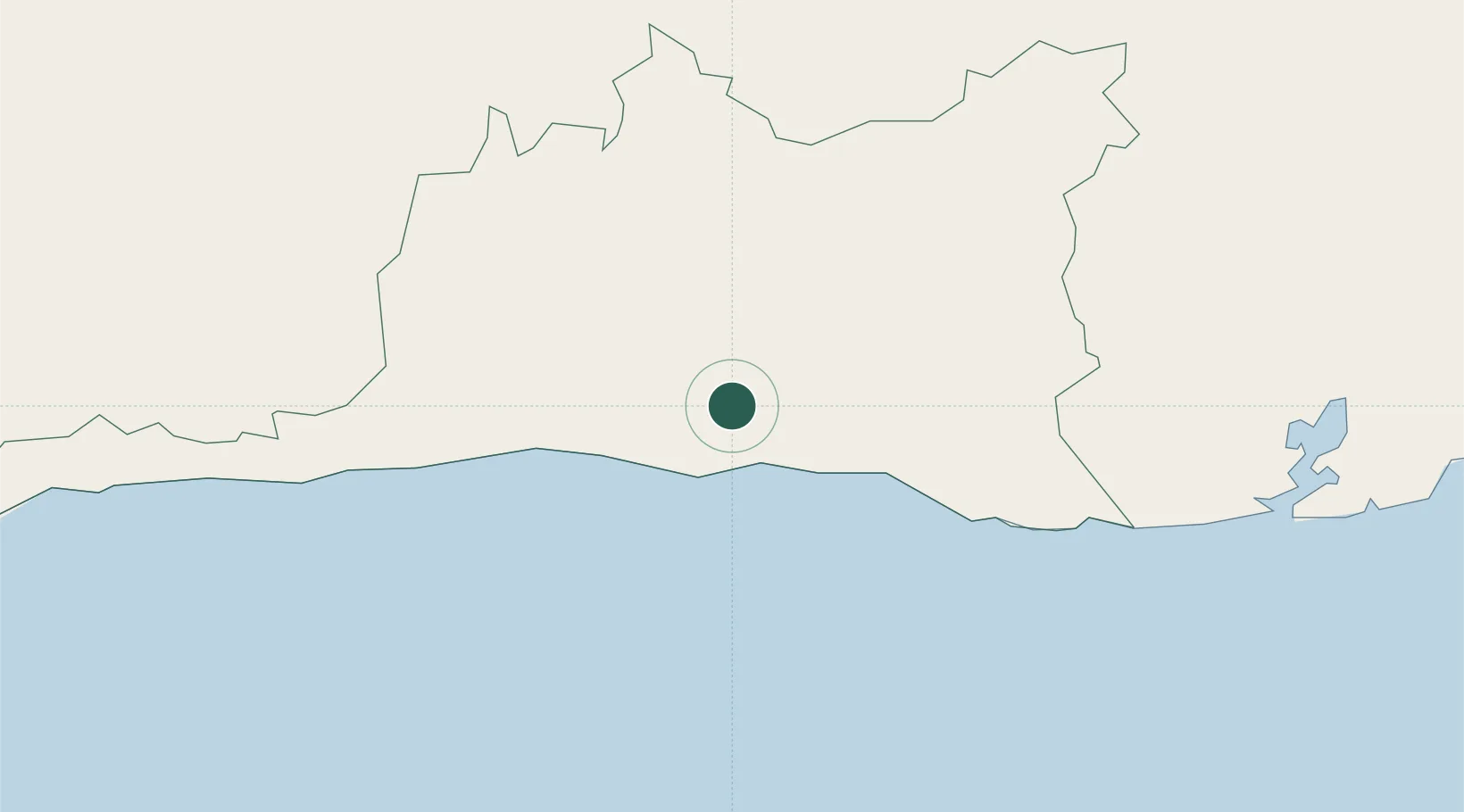
Location
Nearby Logistics Neighbours
Cities
- 1Santiago de Cuba10 km
- 2Antilla88 km
- 3Pilón90 km
- 4Sagua de Tánamo94 km
- 5Banes104 km
Ports
- 1Santiago De Cuba11 km
- 2Felton84 km
- 3Puerto Guantanamo84 km
- 4Nicaro84 km
- 5Preston85 km
Airports
Trade Zones
- 158 HWT Tech Park245 km
- 2Kingston Free Zone248 km
- 3Kingston Wharves Terminal Special Economic Zone248 km
- 4Garmex Free Zone249 km
- 5Caymanas Special Economic Zone249 km
DatabookThe Record of Consolidated Knowledge
Cuba beyond logistics?