Seaport · Cuba
Santiago De CubaCUSCU
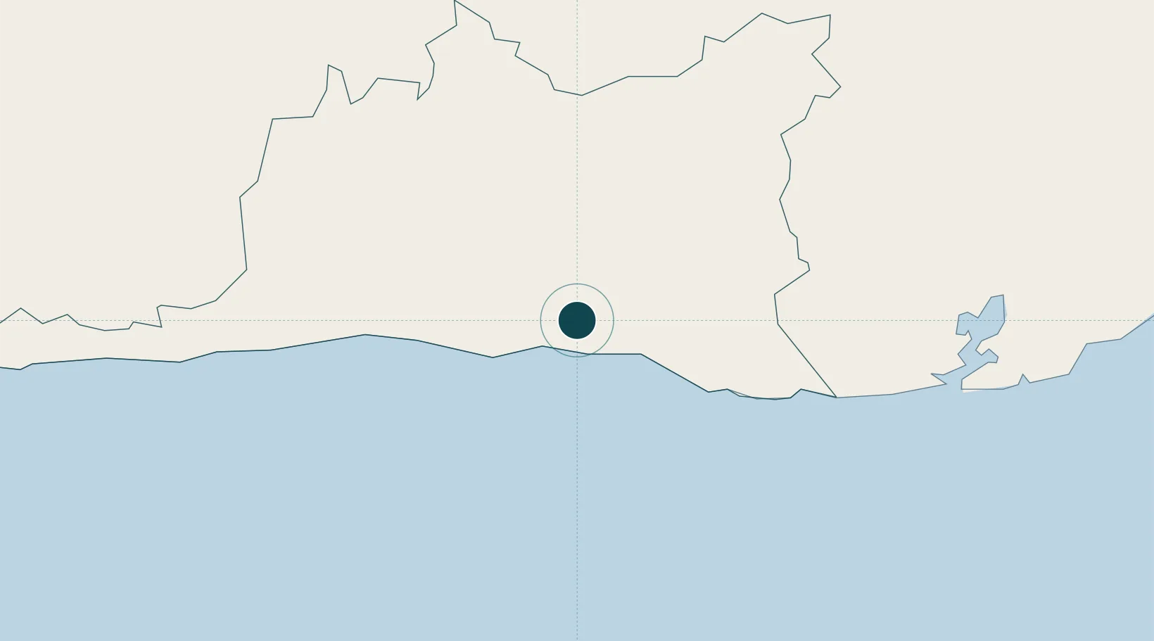
20.0167°, -75.8333°
7.9 m
Channel depth
12.8
Port liner connectivity
Channel & Berth Profile
Pilotage, Tugs & Services
Pilotage compulsoryYES
Pilotage availableYES
Pilotage advisableYES
Tug assistanceYES
Shore powerYES
Potable waterYES
Diesel bunkersYES
MedicalYES
Facilities & Capabilities
ContainerYES
Ro-Ro—
Liquid bulkYES
Dry bulkYES
Oil terminal—
Break bulkYES
Dry dock—
RepairsNO
BunkeringYES
Rail linkYES
Dangerous cargo—
ISPS securityYES
Harbour Specifications
Harbour size
Medium
Harbour type
Coastal (Natural)
Shelter
Excellent
Water body
Caribbean Sea; North Atlantic Ocean
Tidal range
0.5 m
Overhead limit
Yes
Pilotage
Yes
Liner Connectivity
12.8
PLSCI
Port Liner Shipping Connectivity Index for Santiago De Cuba, as published by UNCTAD for the latest available quarter. Higher values indicate stronger scheduled liner-shipping integration.
Shown relative to the highest per-port PLSCI in the dataset (1,657.9).
Location
Nearby Logistics Neighbours
Ports
- 1Puerto Guantanamo73 km
- 2Nicaro83 km
- 3Felton83 km
- 4Preston86 km
- 5Bahia De Sagua De Tanamo91 km
Cities
- 1Melgarejo11 km
- 2Sagua de Tánamo89 km
- 3Antilla91 km
- 4Pilón93 km
- 5Banes106 km
Airports
Trade Zones
- 158 HWT Tech Park246 km
- 2Kingston Free Zone249 km
- 3Kingston Wharves Terminal Special Economic Zone249 km
- 4Garmex Free Zone249 km
- 5Caymanas Special Economic Zone250 km
DatabookThe Record of Consolidated Knowledge
Cuba beyond logistics?