UN/LOCODE hub · El Salvador
SVLLD
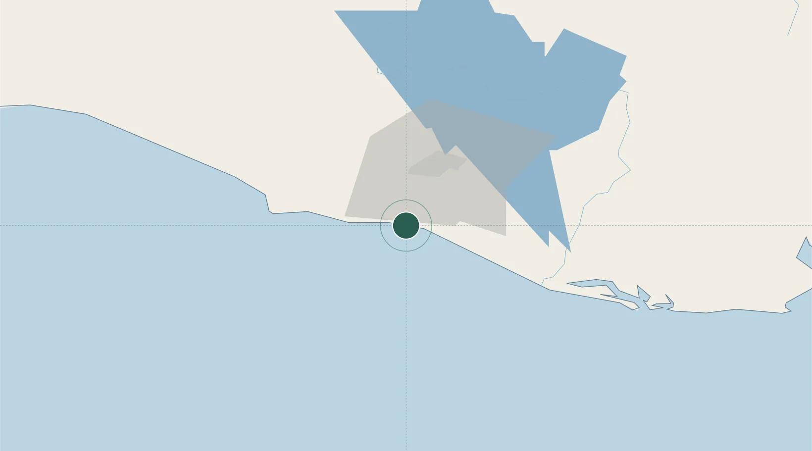
La Libertad
13.4833°, -89.3167°
16,855
Population
2
Transport functions
Transport Functions
Port
Road
Hub Profile
Place type
Populated place
Region
La Libertad Department
Population
16,855
Time zone
America/El_Salvador
Elevation
13 m
Location
Nearby Logistics Neighbours
Cities
- 1Santa Tecla9 km
- 2San Marcos16 km
- 3Nuevo Cuscatlan18 km
- 4Antiguo Cuscatlán22 km
- 5Soyapango30 km
Ports
- 1Acajutla61 km
- 2La Union161 km
- 3Puerto Quetzal167 km
- 4Puerto De Hencan202 km
- 5Santo Tomas De Castilla258 km
Airports
Trade Zones
- 1Zona Franca Santa Tecla20 km
- 2Zona Franca Internacional23 km
- 3Miramar Free Zone24 km
- 4San Marcos Free Zone24 km
- 5El Pedregal Free Zone26 km
DatabookThe Record of Consolidated Knowledge
El Salvador beyond logistics?