UN/LOCODE hub · Mexico
MXPMD
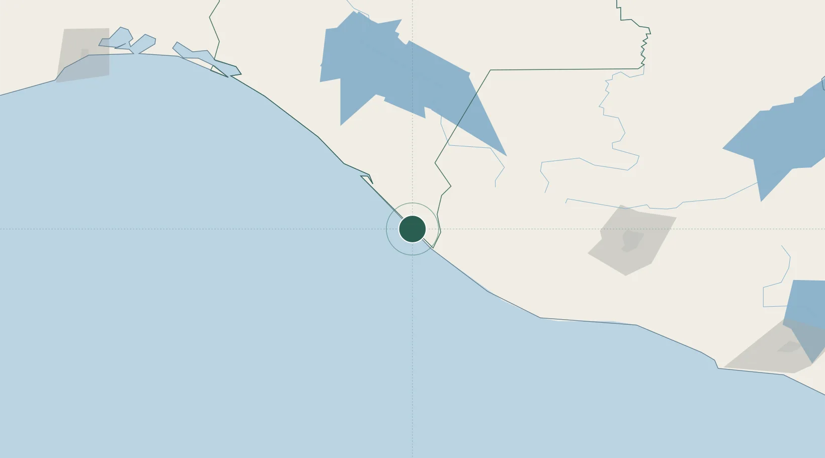
Puerto Madero
14.7106°, -92.4014°
9,557
Population
2
Transport functions
1
Container terminals
Transport Functions
Port
Road
Hub Profile
Place type
Populated place
Region
Chiapas
Population
9,557
Time zone
America/Mexico_City
Elevation
10 m
Logistics facilities
1
Container terminals
1
Location
Nearby Logistics Neighbours
Cities
- 1Ciudad Tecún Umán28 km
- 2Coatepeque58 km
- 3Champerico69 km
- 4San Antonio Suchitepéquez108 km
- 5Nahualate110 km
Ports
- 1Puerto Quetzal194 km
- 2Acajutla301 km
- 3Salina Cruz341 km
- 4Santo Tomas De Castilla421 km
- 5Dos Bocas Terminal423 km
Airports
- 1Tapachula International Airport10 km
- 2Retalhuleu Airport79 km
- 3Quezaltenango Airport98 km
- 4Huehuetenango Airport118 km
- 5San José Airport189 km
Trade Zones
- 1Special Economic Zone of Puerto Chiapas2 km
- 2Grupo Zeta Free Zone192 km
- 3Zona Franca Cropa202 km
- 4Zona Franca 10303 km
- 5Zona Franca Santa Ana318 km
DatabookThe Record of Consolidated Knowledge
Mexico beyond logistics?