UN/LOCODE hub · Mexico
MXJDZ

Juchitán de Zaragoza

16.4333°, -95.0167°
2
Transport functions

Transport Functions

Port
Road
UN/LOCODE

Hub Profile

Region
OAX
GeoNames

Location

Location of MXJDZ
Natural Earth 10m (public domain) · OAX · MXJDZ · 16.43, -95.02GoogleOSMYandex

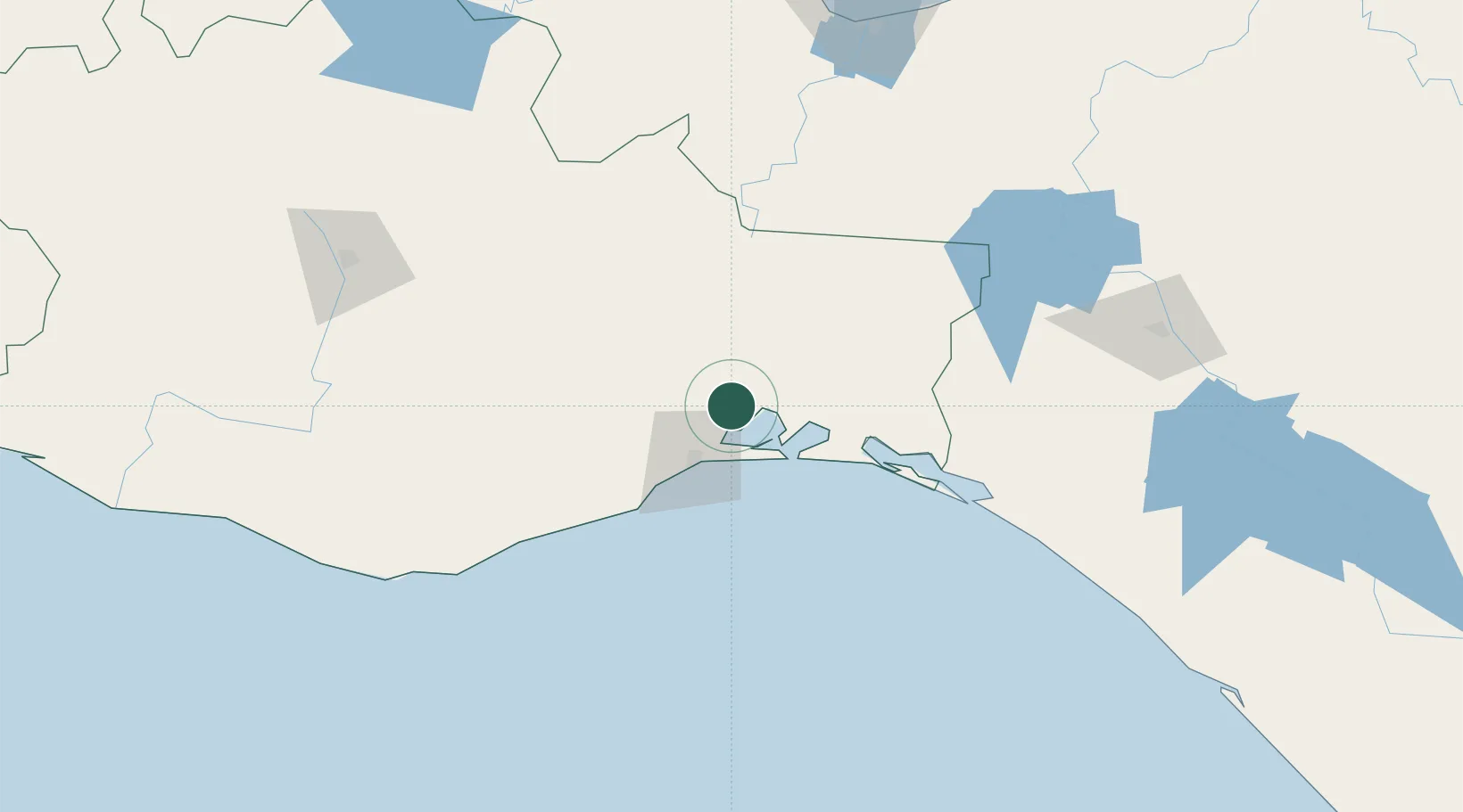
Nearby Logistics Neighbours

Cities
  1. 1Salina Cruz35 km
  2. 2Huatulco (Santa María Huatulco)154 km
  3. 3Puerto Ángel178 km
  4. 4Cosoleacaque184 km
  5. 5Ixhuatlan del Sureste189 km
Nearest neighbours — logibook spatial index (haversine) over the source coordinates
Ports
  1. 1Salina Cruz36 km
  2. 2Minatitlan170 km
  3. 3Nanchital193 km
  4. 4Coatzacoalcos201 km
  5. 5Dos Bocas Terminal293 km
Nearest neighbours — logibook spatial index (haversine) over the source coordinates
Trade Zones
  1. 1Special Economic Zone of Salina Cruz39 km
  2. 2Special Economic Zone of Coatzacoalcos197 km
  3. 3Zona Economica Especial de Tabasco291 km
  4. 4Special Economic Zone of Puerto Chiapas339 km
  5. 5Grupo Zeta Free Zone518 km
Nearest neighbours — logibook spatial index (haversine) over the source coordinates
DatabookThe Record of Consolidated Knowledge
Mexico beyond logistics?
Browse databook

All Sources

LocationsUN/LOCODE
UN/LOCODE — free
Portsthe NGA World Port Index
Public domain (US gov)
AirportsOurAirports
Public domain
Trade Zonesthe World Bank SEZ database
CC BY 4.0
Trade ZonesOpen Zone Map
CC BY
← Mexico locations