Medium airport · Mexico
Tapachula International AirportMMTP
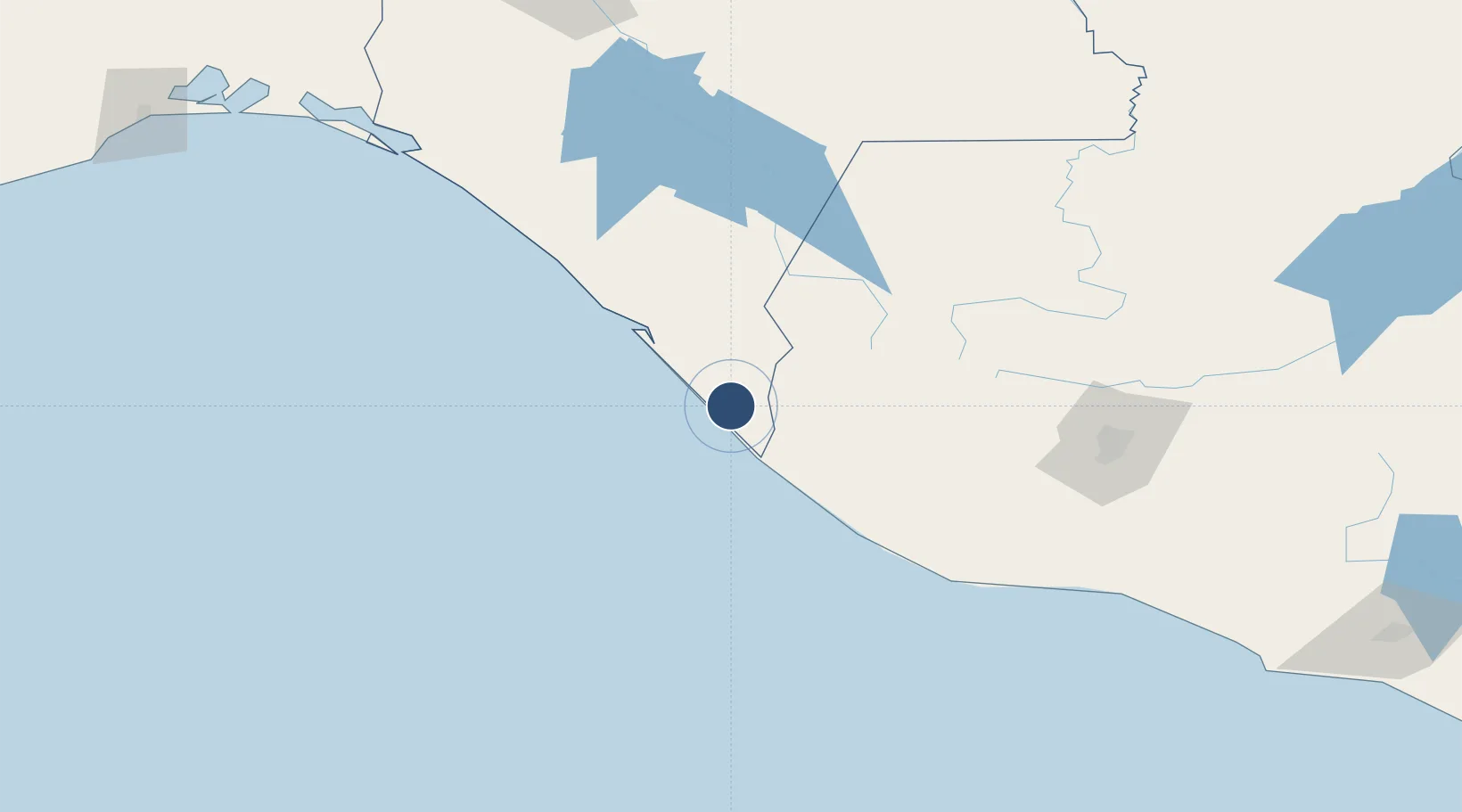
14.7945°, -92.3699°
6,562 ft
Longest runway
1
Runways
97 ft
Elevation
Runway & Layout

Radio Frequencies
TWR
118.2 MHz
Navaids
TAP VOR-DME Tapachula 115.30 MHz
Runways · 1
| Runway | Dimensions | Surface | True heading | Lit |
|---|---|---|---|---|
| 05/23 | 6,562 × 148ft | Asphalt | 055° | ✓ |
Airport Specifications
IATA code
TAP
ICAO code
MMTP
Airport class
Medium airport
Scheduled service
Yes
Runway surface
Asphalt
Served city
Tapachula
Location
Nearby Logistics Neighbours
Airports
- 1Retalhuleu Airport79 km
- 2Quezaltenango Airport94 km
- 3Huehuetenango Airport110 km
- 4San José Airport191 km
- 5La Aurora International Airport200 km
Cities
- 1Puerto Madero10 km
- 2Ciudad Tecún Umán28 km
- 3Coatepeque55 km
- 4Champerico74 km
- 5San Antonio Suchitepéquez107 km
Ports
- 1Puerto Madero14 km
- 2Puerto Quetzal195 km
- 3Acajutla302 km
- 4Salina Cruz340 km
- 5Dos Bocas Terminal415 km
Trade Zones
- 1Special Economic Zone of Puerto Chiapas11 km
- 2Grupo Zeta Free Zone190 km
- 3Zona Franca Cropa199 km
- 4Zona Franca 10302 km
- 5Zona Franca Santa Ana317 km
DatabookThe Record of Consolidated Knowledge
Mexico beyond logistics?