UN/LOCODE hub · Dominican Republic
DOSCL
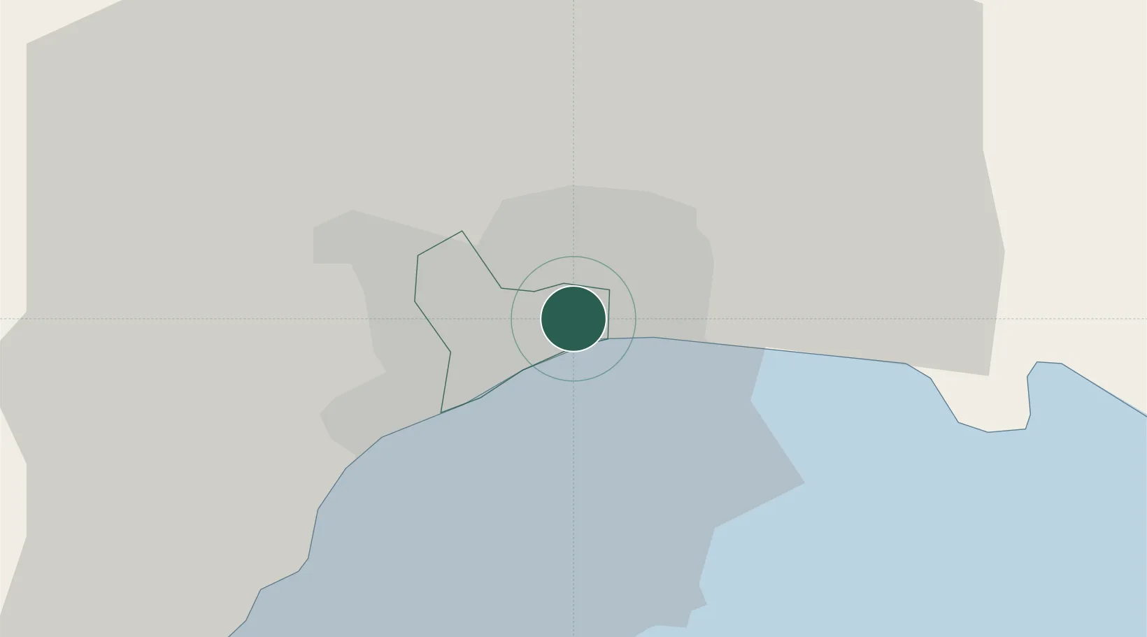
San Carlos
18.4833°, -69.9000°
13,456
Population
1
Transport functions
Transport Functions
Multimodal
Hub Profile
Place type
Urban district
Region
Nacional
Population
13,456
Time zone
America/Santo_Domingo
Elevation
28 m
Location
Nearby Logistics Neighbours
Cities
- 1Santo Domingo6 km
- 2Villa Mella7 km
- 3Hainamosa8 km
- 4Haina12 km
- 5Pedro Brand13 km
Ports
- 1Santo Domingo3 km
- 2Puerto De Haina14 km
- 3Andres (Andres Lng Terminal)29 km
- 4San Pedro De Macoris62 km
- 5Las Calderas72 km
Airports
DatabookThe Record of Consolidated Knowledge
Dominican Republic beyond logistics?