Transport Functions
Multimodal
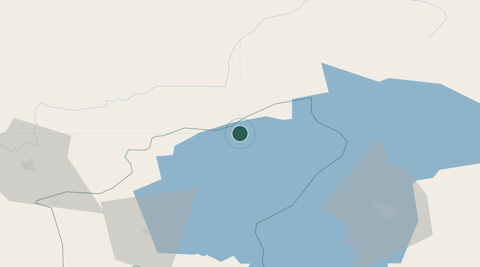
Hub Profile
Place type
Populated place
Region
Bitlis
Time zone
Europe/Istanbul
Elevation
2,207 m
Location
Nearby Logistics Neighbours
Cities
- 1Demirkapi63 km
- 2Ercis66 km
- 3Poliport114 km
- 4Emek124 km
- 5Dogubayazit145 km
Ports
- 1Hopa296 km
- 2Rize298 km
- 3Batumi314 km
- 4Trabzon336 km
- 5Supsa Marine Terminal362 km
Airports
- 1Van Ferit Melen Airport81 km
- 2Muş Airport84 km
- 3Ağrı Airport90 km
- 4Siirt Airport124 km
- 5Iğdır Airport161 km
Trade Zones
- 1Maku Mako Trade-Industrial Free Zone162 km
- 2Salmas Special Economic Zone202 km
- 3Meridian Free Economic Zone206 km
- 4Alliance Free Zone216 km
- 5Jrvezh Engineering City222 km
DatabookThe Record of Consolidated Knowledge
Türkiye beyond logistics?