Transport Functions
Multimodal
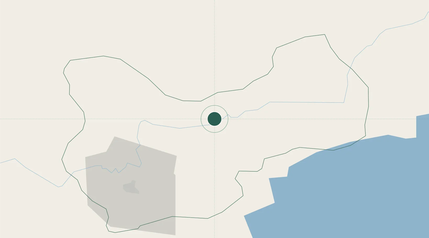
Hub Profile
Place type
Populated place
Region
Muş
Time zone
Europe/Istanbul
Elevation
1,449 m
Location
Nearby Logistics Neighbours
Ports
- 1Rize250 km
- 2Hopa263 km
- 3Trabzon281 km
- 4Batumi286 km
- 5Supsa Marine Terminal336 km
Airports
- 1Muş Airport43 km
- 2Erzurum International Airport116 km
- 3Bingöl Airport116 km
- 4Ağrı Airport116 km
- 5Siirt Airport123 km
Trade Zones
- 1Maku Mako Trade-Industrial Free Zone217 km
- 2Mardin Free Zone228 km
- 3Meridian Free Economic Zone245 km
- 4Gyumri Eurasian Logistic Park249 km
- 5Al Yarubiyah Free Zone253 km
DatabookThe Record of Consolidated Knowledge
Türkiye beyond logistics?