Transport Functions
Multimodal
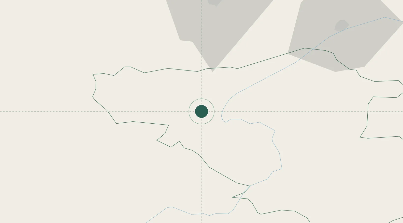
Hub Profile
Place type
Regional capital
Region
Samtskhe-Javakheti
Population
17,445
Time zone
Asia/Tbilisi
Elevation
984 m
Location
Nearby Logistics Neighbours
Cities
- 1Borjomi40 km
- 2Akhalkalaki49 km
- 3Shorapani51 km
- 4Zestap'oni52 km
- 5Khashuri64 km
Ports
- 1Batumi109 km
- 2Supsa Marine Terminal116 km
- 3Hopa133 km
- 4Rize214 km
- 5Sokhumi222 km
Airports
Trade Zones
DatabookThe Record of Consolidated Knowledge
Georgia beyond logistics?