Medium airport · Türkiye
Afyon Air BaseLTAH
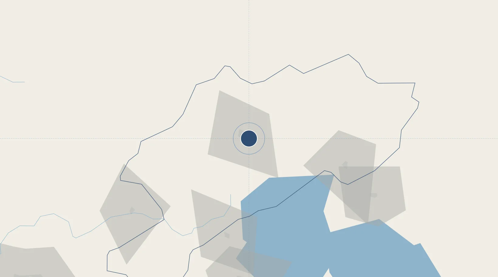
38.7264°, 30.6011°
12,008 ft
Longest runway
2
Runways
3,310 ft
Elevation
Runway & Layout

Radio Frequencies
TWR
122.1 MHz
APP
122.1 MHz
Navaids
KFK TACAN Afyon 115.20 MHz
KFK VOR-DME Afyon 112.20 MHz
KFK NDB Afyon 324 kHz
Runways · 2
| Runway | Dimensions | Surface | True heading | Lit |
|---|---|---|---|---|
| 13L/31R | 12,008 × 148ft | Concrete | 133° | ✓ |
| 13R/31L | 9,843 × 148ft | Concrete | 134° | ✓ |
Airport Specifications
IATA code
AFY
ICAO code
LTAH
Airport class
Medium airport
Scheduled service
No
Runway surface
Concrete
Served city
Afyonkarahisar
Location
Nearby Logistics Neighbours
Airports
- 1Zafer Airport59 km
- 2Kütahya Airport93 km
- 3Uşak Airport98 km
- 4Süleyman Demirel International Airport99 km
- 5Sivrihisar Airport104 km
Cities
- 1Çivril90 km
- 2Kocabas152 km
- 3Dosemealti190 km
- 4Konya190 km
- 5Antalya210 km
Ports
- 1Antalya211 km
- 2Antalya Offshore Terminal212 km
- 3Gemlik227 km
- 4Golcuk Burnu233 km
- 5Izmit234 km
DatabookThe Record of Consolidated Knowledge
Türkiye beyond logistics?