Medium airport · Türkiye

Süleyman Demirel International AirportLTFC
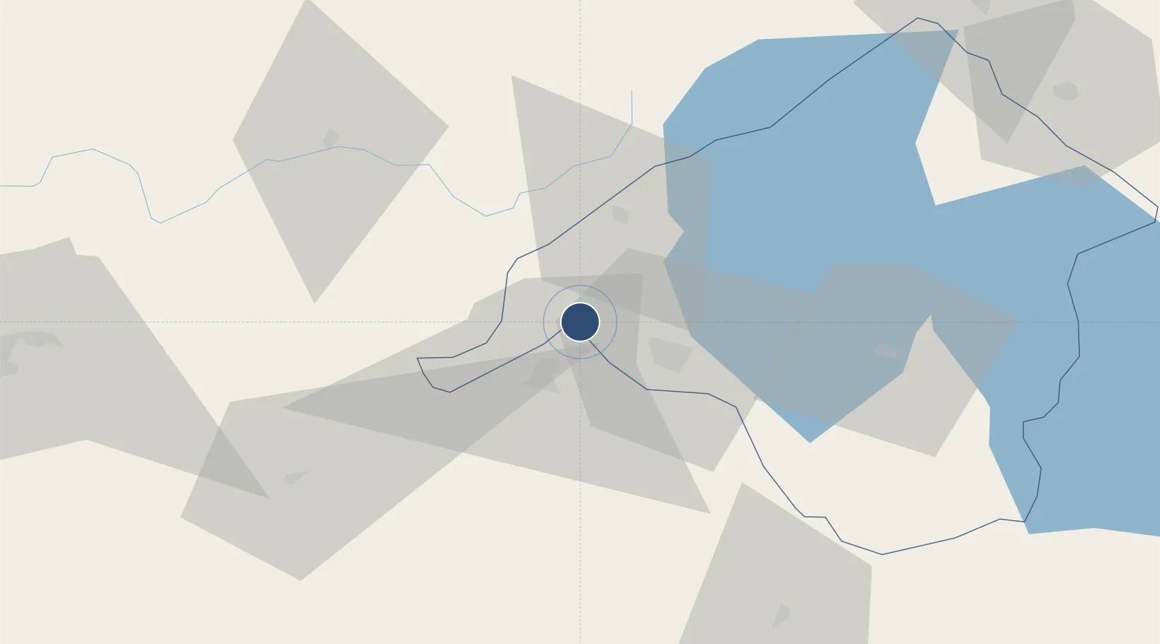
37.8554°, 30.3684°
9,843 ft
Longest runway
1
Runways
2,835 ft
Elevation

Runway & Layout

Süleyman Demirel International Airport runway & taxiway layout
Runway & taxiway layout — OpenStreetMap (ODbL) / OurAirports

Radio Frequencies

TWR
118.65 MHz
ISPARTA TWR
GND
121.7 MHz
ISPARTA GND
OurAirports

Navaids

IPT VOR-DME Isparta 117.50 MHz
IPT NDB Isparta 349 kHz
OurAirports

Runways · 1

RunwayDimensions SurfaceTrue headingLit
05/23 9,843 × 148ft Concrete 050°
OurAirports

Airport Specifications

IATA code
ISE
OurAirports
ICAO code
LTFC
OurAirports
Airport class
Medium airport
OurAirports
Scheduled service
Yes
OurAirports
Runway surface
Concrete
OurAirports
Served city
Isparta
OurAirports

Location

Location of LTFC
Natural Earth 10m (public domain) · Isparta · LTFC · 37.86, 30.37GoogleOSMYandex

Nearby Logistics Neighbours

Airports
  1. 1Çardak Airport59 km
  2. 2Afyon Air Base99 km
  3. 3Antalya International Airport113 km
  4. 4Uşak Airport121 km
  5. 5Zafer Airport141 km
Nearest neighbours — logibook spatial index (haversine) over the source coordinates
Cities
  1. 1Çivril73 km
  2. 2Kocabas93 km
  3. 3Dosemealti96 km
  4. 4Antalya115 km
  5. 5Antalya Free Zone116 km
Nearest neighbours — logibook spatial index (haversine) over the source coordinates
Ports
  1. 1Antalya116 km
  2. 2Antalya Offshore Terminal117 km
  3. 3Fethiye176 km
  4. 4Alanya206 km
  5. 5Marmaris216 km
Nearest neighbours — logibook spatial index (haversine) over the source coordinates
Trade Zones
  1. 1Denizli Free Zone62 km
  2. 2Antalya Organized Industrial Zone89 km
  3. 3Afyonkarahisar Organized Industrial Zone106 km
  4. 4Antalya Free Zone115 km
  5. 5Usak Deri (Karma) Organized Industrial Zone116 km
Nearest neighbours — logibook spatial index (haversine) over the source coordinates
DatabookThe Record of Consolidated Knowledge
Türkiye beyond logistics?
Browse databook

All Sources

AirportsOurAirports
Public domain
Portsthe NGA World Port Index
Public domain (US gov)
LocationsUN/LOCODE
UN/LOCODE — free
Trade Zonesthe World Bank SEZ database
CC BY 4.0
Trade ZonesOpen Zone Map
CC BY
InfrastructureOpenStreetMap
ODbL 1.0
← Türkiye airports