UN/LOCODE hub · France
FRUF2

Cousances-les-Forges

48.6000°, 5.0833°
1
Transport functions

Transport Functions

Multimodal
UN/LOCODE

Hub Profile

Place type
Populated place
GeoNames
Region
Grand Est
GeoNames
Time zone
Europe/Paris
GeoNames
Elevation
170 m
GeoNames

Location

Location of FRUF2
Natural Earth 10m (public domain) · Grand Est · FRUF2 · 48.60, 5.08GoogleOSMYandex

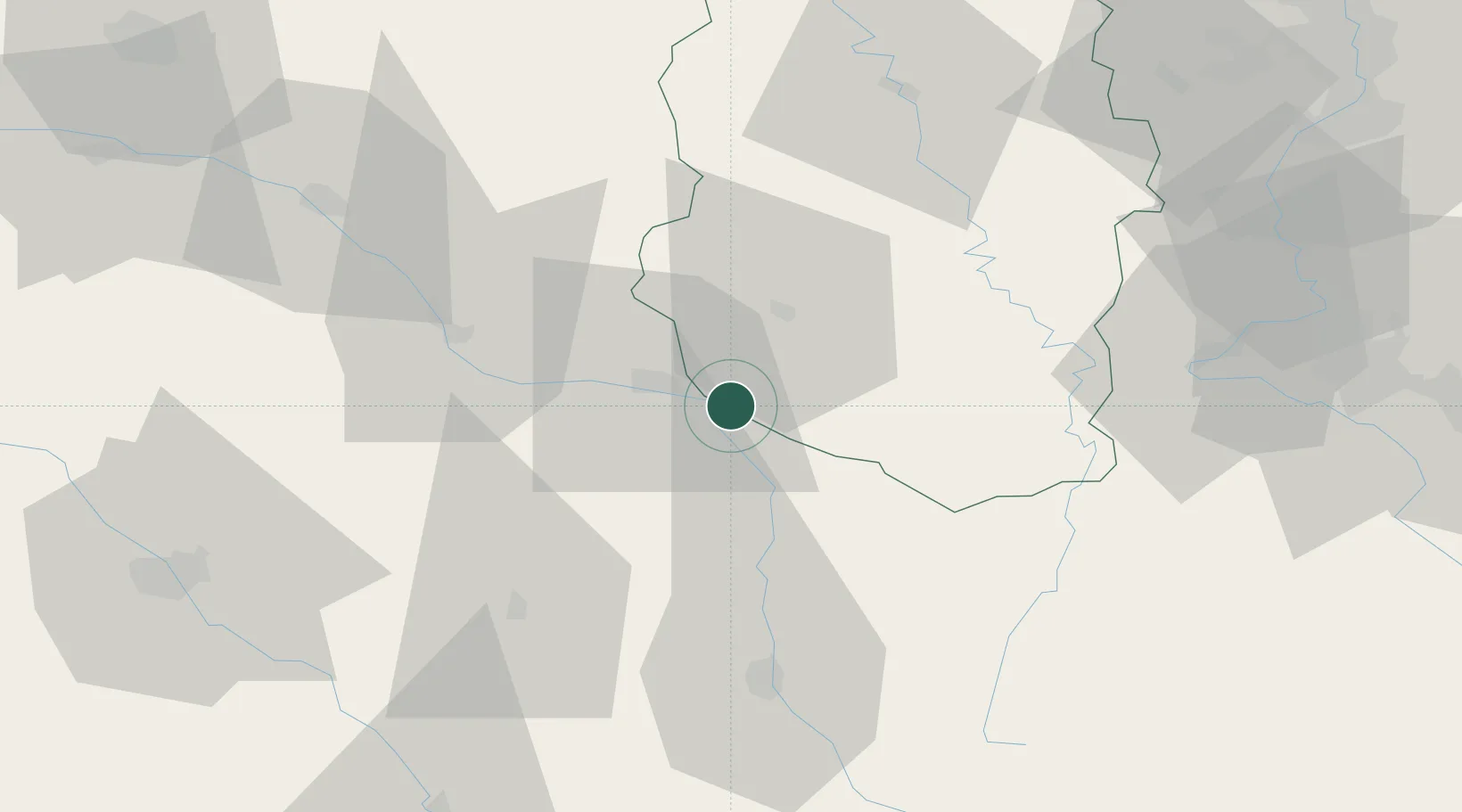
Nearby Logistics Neighbours

Cities
  1. 1Roches-sur-Marne5 km
  2. 2Wassy15 km
  3. 3Joinville19 km
  4. 4Ligny-en-Barrois21 km
  5. 5Bar-le-Duc21 km
Nearest neighbours — logibook spatial index (haversine) over the source coordinates
Ports
  1. 1Bruxelles258 km
  2. 2Ghent291 km
  3. 3Antwerpen295 km
  4. 4Terneuzen319 km
  5. 5Bruges322 km
Nearest neighbours — logibook spatial index (haversine) over the source coordinates
Airports
  1. 1Saint-Dizier – Robinson Air Base14 km
  2. 2Nancy-Ochey (BA 133) Air Base64 km
  3. 3Verdun-Le Rozelier Airfield65 km
  4. 4Chalons Vatry airport67 km
  5. 5Épinal Mirecourt Airport79 km
Nearest neighbours — logibook spatial index (haversine) over the source coordinates
Trade Zones
  1. 1ZFU Saint-Dizier16 km
  2. 2ZFU Maxéville, Laxou, et de Nancy80 km
  3. 3ZFU La Chapelle Saint-Luc, Les Noës-près-Troyes, Troyes, Sainte-Savine84 km
  4. 4ZFU Metz97 km
  5. 5ZFU Woippy-Metz99 km
Nearest neighbours — logibook spatial index (haversine) over the source coordinates
DatabookThe Record of Consolidated Knowledge
France beyond logistics?
Browse databook

All Sources

LocationsUN/LOCODE
UN/LOCODE — free
Portsthe NGA World Port Index
Public domain (US gov)
AirportsOurAirports
Public domain
Trade Zonesthe World Bank SEZ database
CC BY 4.0
Trade ZonesOpen Zone Map
CC BY
← France locations