Transport Functions
Road
Multimodal
Hub Profile
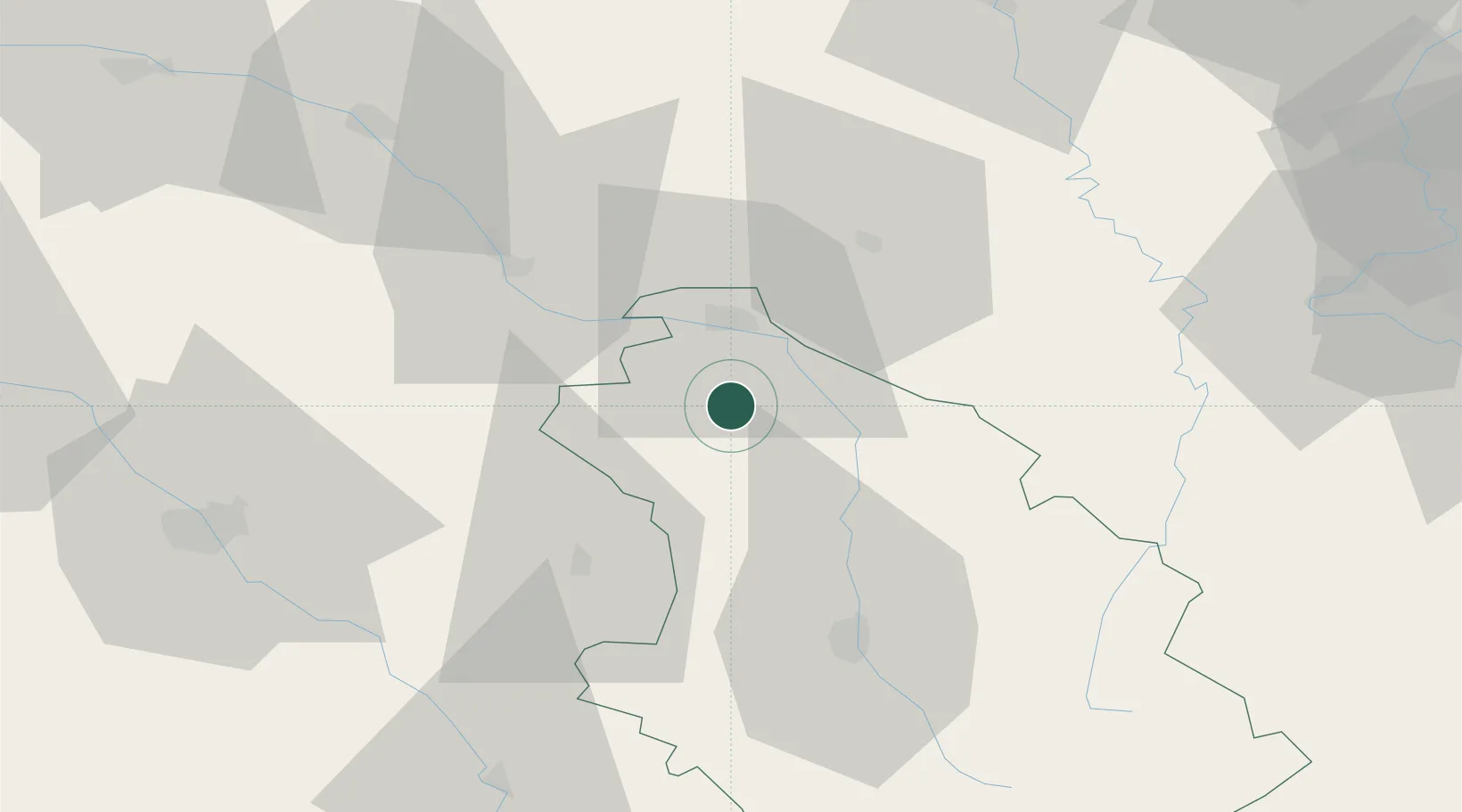
Place type
Populated place
Region
Grand Est
Population
3,427
Time zone
Europe/Paris
Elevation
164 m
Location
Nearby Logistics Neighbours
Cities
- 1Roches-sur-Marne14 km
- 2Cousances-les-Forges15 km
- 3Joinville15 km
- 4Nully18 km
- 5Mussey-sur-Marne20 km
Airports
Trade Zones
DatabookThe Record of Consolidated Knowledge
France beyond logistics?