UN/LOCODE hub · France
FRZIV
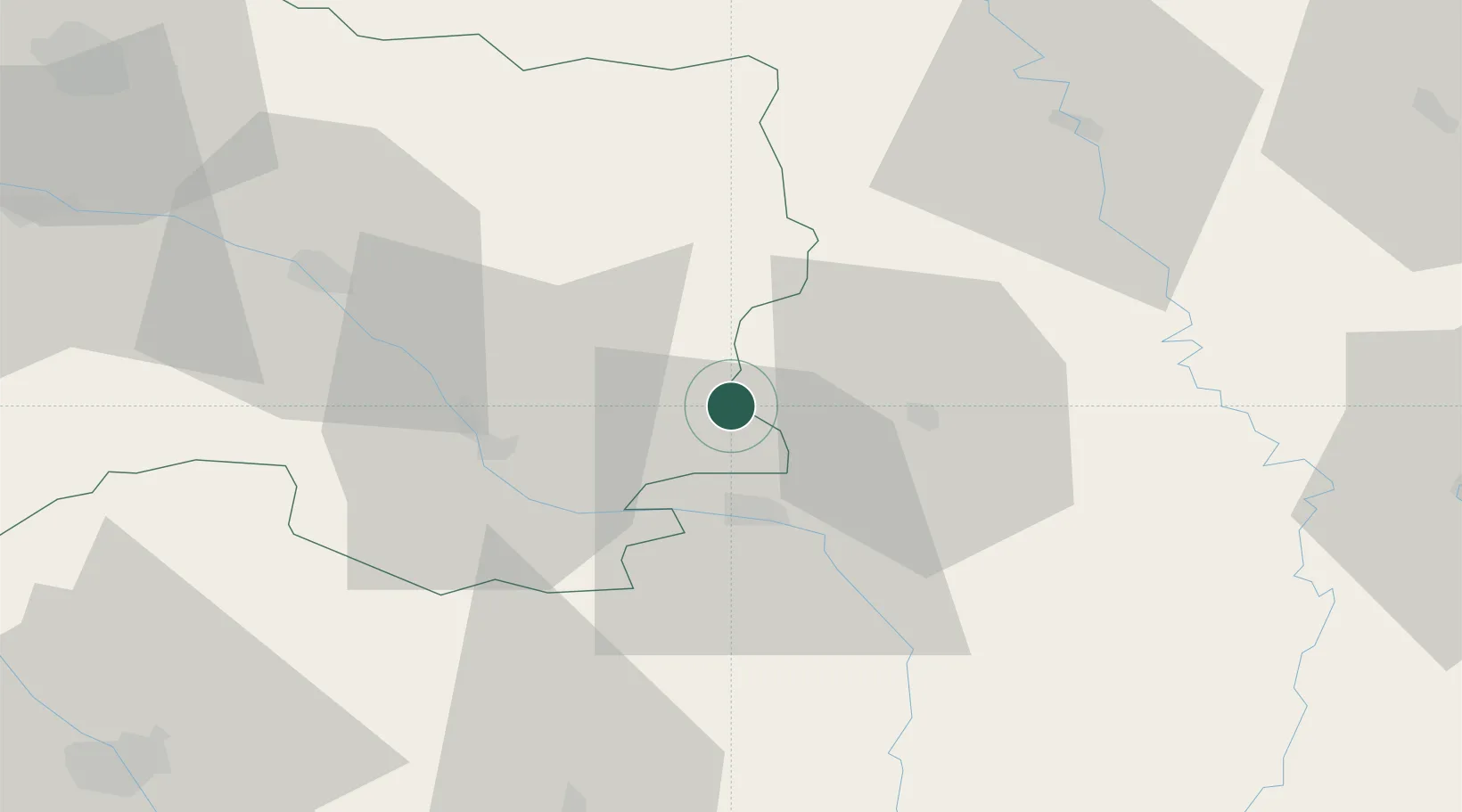
Sermaize-les-Bains
48.7833°, 4.9167°
2,212
Population
1
Transport functions
Transport Functions
Multimodal
Hub Profile
Place type
Populated place
Region
Grand Est
Population
2,212
Time zone
Europe/Paris
Elevation
132 m
Location
Nearby Logistics Neighbours
Cities
- 1Revigny-sur-Ornain6 km
- 2Pargny-sur-Saulx8 km
- 3Vanault-le-Châtel16 km
- 4Bar-le-Duc18 km
- 5Bassuet18 km
Airports
Trade Zones
DatabookThe Record of Consolidated Knowledge
France beyond logistics?